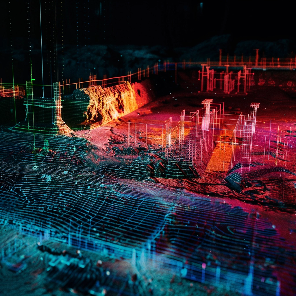
Precision 3D Scanning provides professional 3D LiDAR scanning services for the Architecture, Engineering, and Construction (AEC) industry. We specialize in heavy scanning of existing buildings, infrastructure, and complex environments, capturing accurate field conditions and converting them into reliable digital data for project teams.
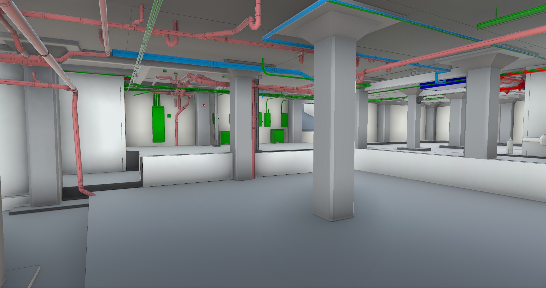
Our work includes detailed MEPF data collection, documenting mechanical, electrical, plumbing and fire protection systems above ceilings and within mechanical spaces so architects, engineers, and contractors can coordinate designs with confidence.
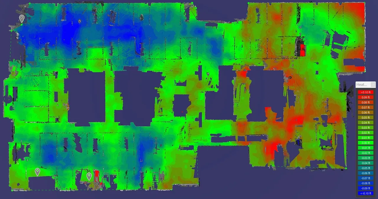
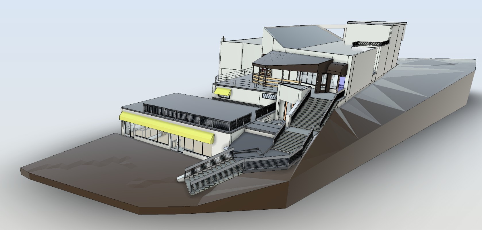
We deliver registered point clouds and Revit model creation to support architects, engineers, and designers as they develop renovation plans, coordinate systems, and verify existing conditions. Precision 3D Scanning also produces concrete elevation heat maps, helping contractors and flooring professionals evaluate slab flatness and surface conditions with measurable accuracy.
By capturing real-world conditions and translating them into usable models and data, we bring clarity to your project, allowing teams to make informed decisions based on measured reality rather than assumptions.
3D Laser Scanning Services tailored for your next job.
Get to know the technology we provide that guarantees the most precise, reliable measurements for your next job site.
Elevate property maintenance and renovation decisions with detailed 360-degree photos and accurate floor flatness assessments using cutting-edge 3D scanning technology.
Transform design concepts into reality with high-resolution 3D scans and immersive visualizations, ensuring meticulous attention to detail in every space.
Harness the power of Leica Geosystems LiDAR 3D scanner camera technology for comprehensive site documentation and seamless integration into architectural workflows.
We measure with precision, you innovate with comfort
We offer comprehensive options for entire site scans, 3d building scanning, as well as floor flatness & levelness testing. Get optional 360 degree high definition photos.
Connect with our seasoned team members to discuss your requirements and receive a personalized quote within 1-2 business days.
2. Scan your project
Our technology captures millions of data points per second, meticulously documenting every detail of your project in a digital realm.
3. Build your project
Obtain a striking virtual point cloud and seamlessly navigate through your model using your preferred software.
What our clients say about our services
“
The Precision 3D Scanning team was amazing. I just worked with them for the first time, and now they’ll be my first call every time I need a scan. We had them scan a historic building in downtown Denver for a project we’re working on. The building was full of complexities, all of which were accurately represented in the model Precision provided. They’re super responsive and easy to work with as well. Highly recommend! ”
“
Outstanding experience…..for the 5th time now. Joe and Precision 3D continue to be fast, fairly priced, and save us an incredible amount of time. They communicate clearly, hit every deadline they commit to, and deliver exactly what was requested. Their technology is also cutting-edge—more people need to know what they’re doing! If you’re considering working with them, I strongly recommend it! ”
“
I recently used Precision 3D Scanning’s services for multiple buildings on my project. Their 3D scanning accurately mapped our concrete slabs and generated detailed heat maps showing the floor levelness. These insights were crucial in identifying and addressing potential issues and I highly recommend Precision3dScanning to anyone seeking precise and reliable information. ”
“
Excellent service! Precision 3D Scanning was great to work with and I would highly recommend them. ”
“
Precision 3D Scanning provides a fantastic service. Joe met us at our building and walked through the property. He tailored our scan for our needs. The 3D scan allowed us to get an accurate square footage of the building and have a complete record of the building condition when we were moving in a new tenant. We would highly recommend his services. ”
“
Precision 3D Scanning not only provides accurate as-built information, it helps tell a visual story of the finished product which is a valuable tool for quality control training. On a concrete PT deck placement, were able to identify key causes of imperfections which was corrected on the 2nd PT placement resulting in a higher quality product resulting in floor prep cost savings ”
“
We are so thankful to be a Precision Scanning Analytics customer. The scanning process was fast and efficient. We weren’t exactly sure how we were going to utilize the scans but surprisingly we had to replace a drinking fountain with a counter and countertop and the Plummer asked where the water line was for the drinking fountain. I pulled up the building scan for the specific Unit and was able to send the plumber the exact location and height for the water & sewer line from the scans. Saved us a ton of time and money without tearing the wall apart to find the services. ”
“
Precision Scanning has state of the art equipment that can help diagnose even the smallest of problems with floor elevations. They also help clients to understand why there is a problem in first place. ”
“
Precision 3D Scanning quickly and efficiently provided a 3D scan of our post tensioned slab on grade to help identify the variations in finished surface after post tension occurred. This scan, helped identify areas that needed to be addressed with additional prep before they became an issue during unit finishes saving time and creating efficiency in the schedule. ”
“
Precision 3D Scanning provided amazingly detailed scans and information for our 150+ yr.old National Register of Historic Places church steeple renovation on the island of Maui, Hawaii. He scanned the entire exterior and interior (including climbing up within the steeple) and then worked directly with our engineering team to provide the needed files so as to get an accurate 115′ tall scaffold layout. Professional, knowledgeable and is our first call for any project needing detailed layouts. Mahalo! ”
“
Precision 3D Scanning does an incredibly thorough job documenting any as-built condition. He always follows-up to ensure we are happy with his work and also takes the time to walk us through the point cloud model. We definitely recommend Precision 3D Scanning! ”
Software Downloads
Download Software from these links to view your point cloud files.