Call us today for a free consultation
Scanning Technology Gallery
-
Stunning Concrete Elevation Heat Maps by Precision 3D Scanning

Concrete Elevation Heat Maps in action. Title: Unveiling the Beauty of Concrete Elevation Heat Maps: Precision 3D LiDAR Scanning In the dynamic world of architecture and construction, innovation meets precision through 3D LiDAR scanning. This groundbreaking technology unlocks a realm of possibilities, transforming mundane structures into visually breathtaking Concrete Elevation Heat Maps. Concrete elevation deviations…
-
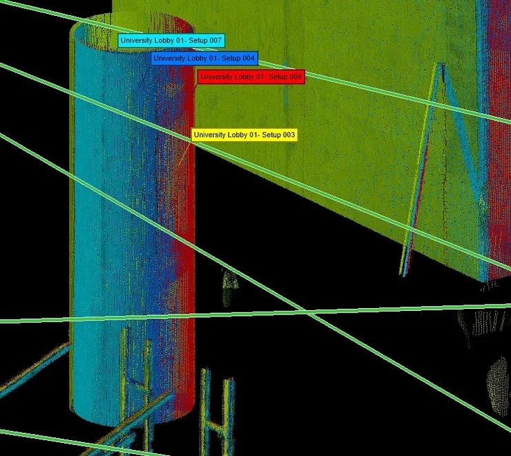
QA/QC During the Registration Phase Is a Critical Services in Action at Precision 3D Scanning

-
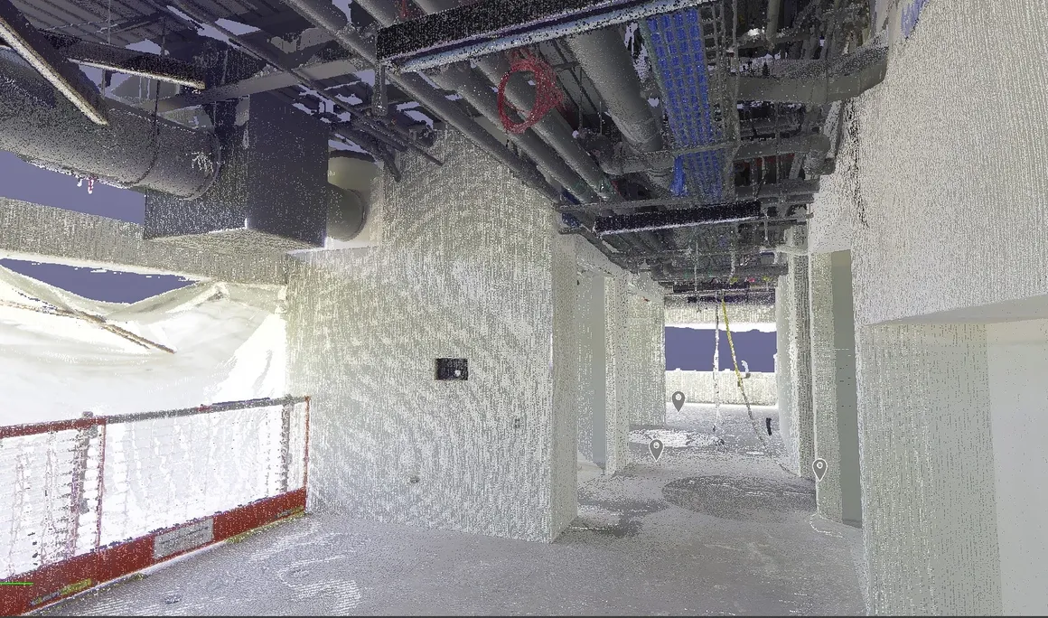
3D Scanning to Point Cloud

Use our construction service to go from plan to a 360 degree HDR Photo that you can measure to a point cloud creation with 3D scanning in the format of your choice to detailed reports such as a FF/FL Heat map of your project. Take virtual fly-through of your work in place.

Revolutionizing the Construction Industry with Point Cloud 3D Scans