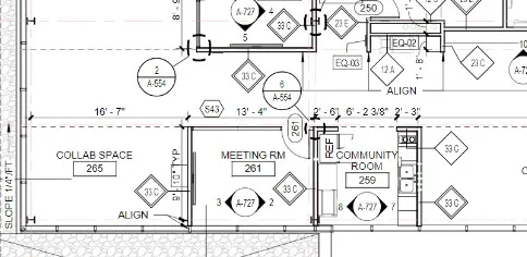
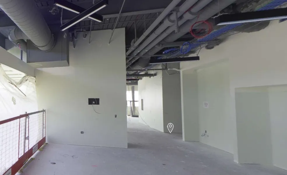
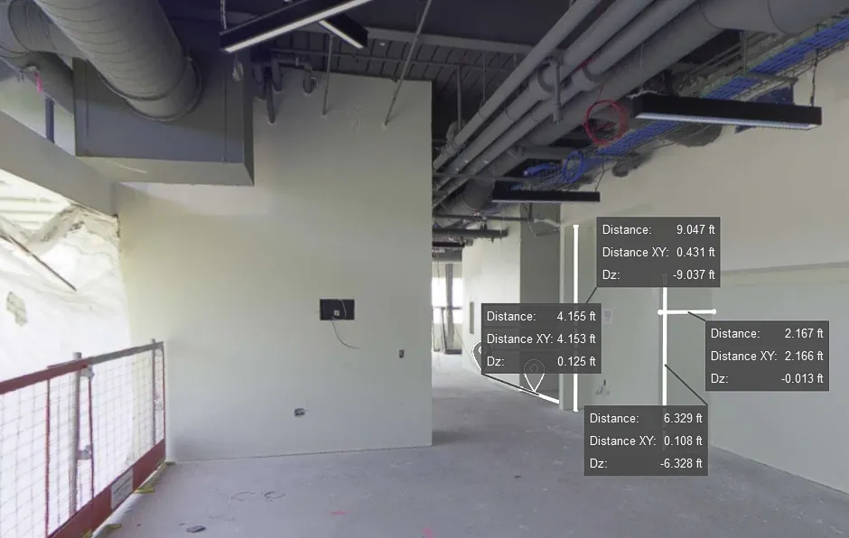
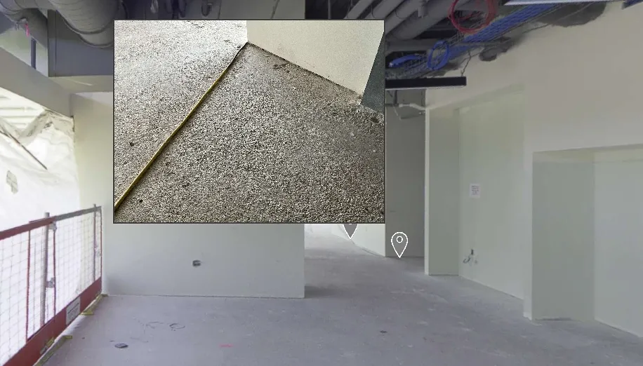
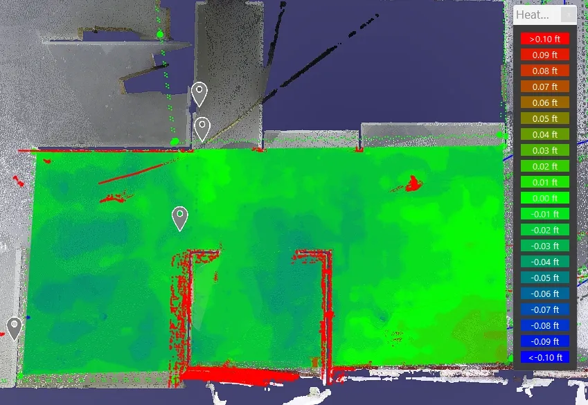
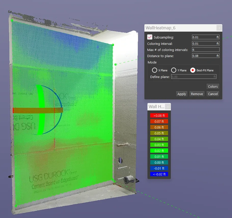
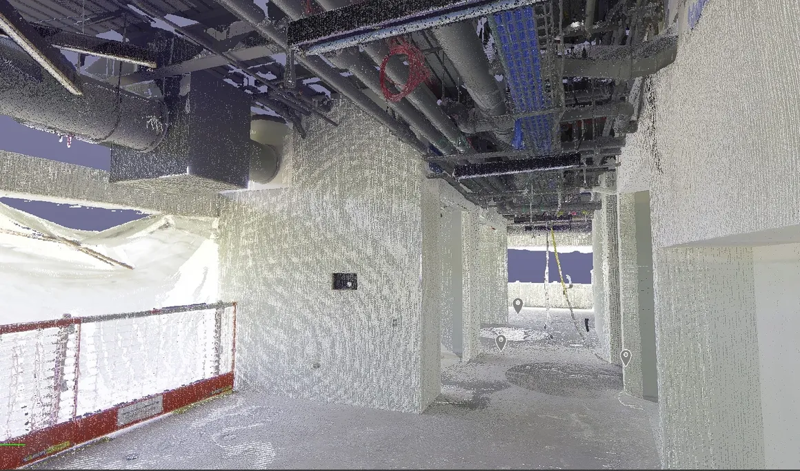
Use our construction service to go from plan to a 360 degree HDR Photo that you can measure to a point cloud creation with 3D scanning in the format of your choice to detailed reports such as a FF/FL Heat map of your project. Take virtual fly-through of your work in place.
![Floor Plan of area to be scanned with 3d laser scanning services](https://precision3dscanning.com/wp-content/uploads/2024/03/floor-plan-of-area-to-be-scanned.webp)
![360 degree hdr photo lidar scanning](https://precision3dscanning.com/wp-content/uploads/2024/03/360-degree-hdr-photo-lidar-scanning.webp)
![360 degree hdr photo lidar scanning](https://precision3dscanning.com/wp-content/uploads/2024/03/360-degree-hdr-photo-lidar-scanning-2.webp)
![360 degree hdr photo lidar scanning](https://precision3dscanning.com/wp-content/uploads/2024/03/360-degree-hdr-photo-lidar-scanning-3.webp)
![360 degree hdr photo lidar scanning](https://precision3dscanning.com/wp-content/uploads/2024/03/360-degree-hdr-photo-lidar-scanning-point-cloud-1024x604.webp)
![heat map concrete ff fl 3d scanning](https://precision3dscanning.com/wp-content/uploads/2024/03/heat-map-concrete-floor-3d-scanning.webp)
![heat map concrete ff fl 3d scanning](https://precision3dscanning.com/wp-content/uploads/2024/03/heat-map-concrete-floor-3d-scanning-2.webp)