LiDAR 3D Scanning Resources
-
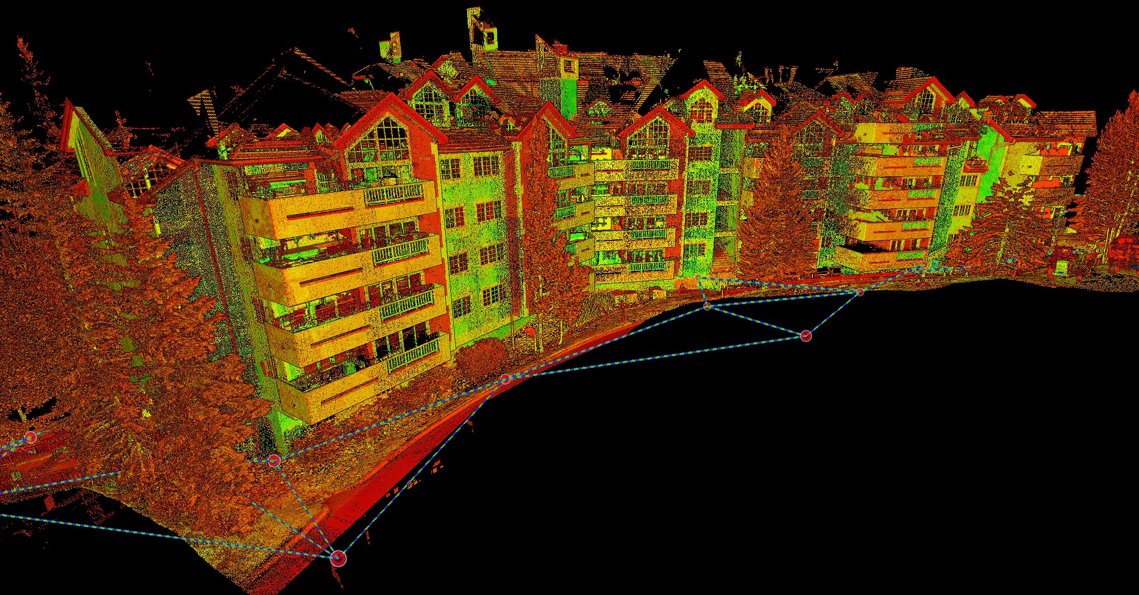
LiDAR Scanning for Scaffolding Design at St. James Place in Beaver Creek
Why LiDAR Scanning for Scaffolding Design Matters LiDAR scanning for scaffolding design is not the first use case that comes to mind when people think about reality capture. Many construction professionals associate laser…
-
Summer is the Only Window
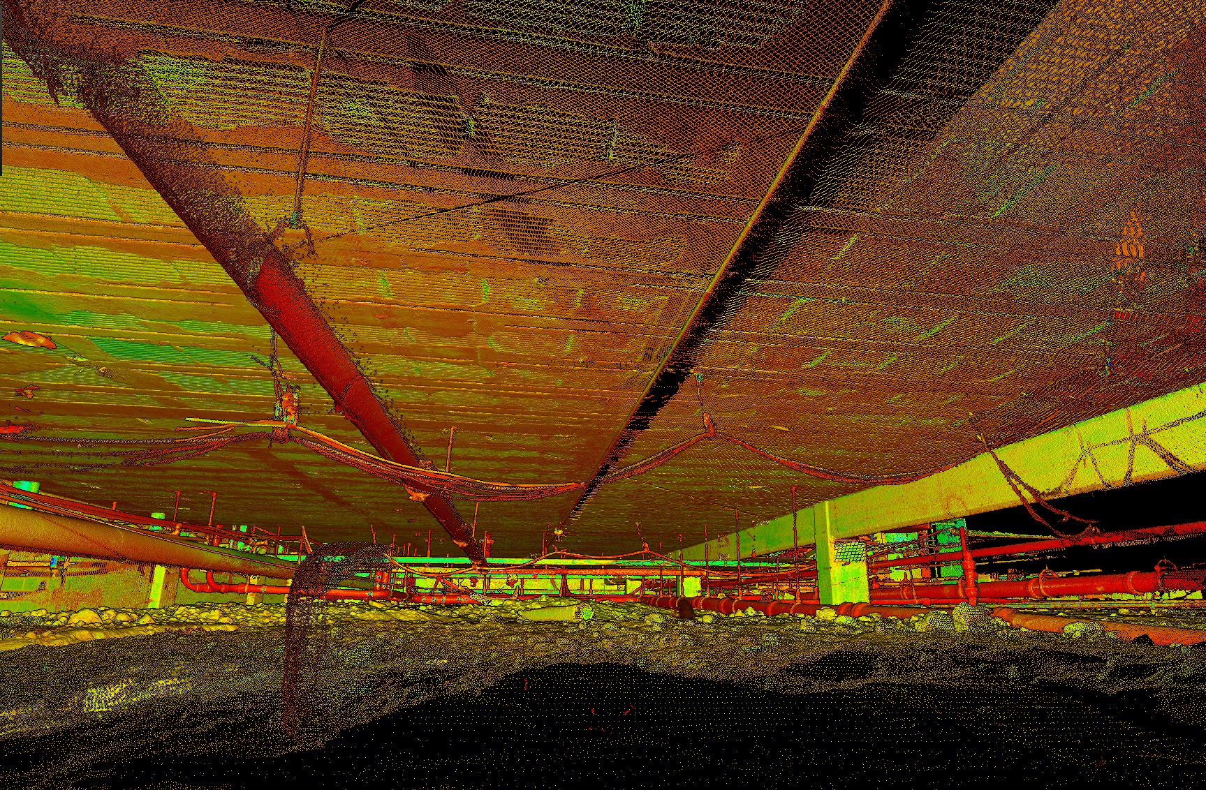
When Summer Is the Only Window: How Crawlspace LiDAR Made Prefabrication Work for a School Renovation “Joe, do you scan crawlspaces?” That question came up during a conversation with a mechanical contractor working…
-
Verifying Structure Before Fabrication: A Pool Project in Progress
Tight schedules leave no room for guesswork Earlier this week I traveled to Washington to scan a new aquatic facility where an adjustable obstacle course will eventually hang above the pool. When the…
-
How Verified Existing Conditions Got a Morrison Site Moving Again
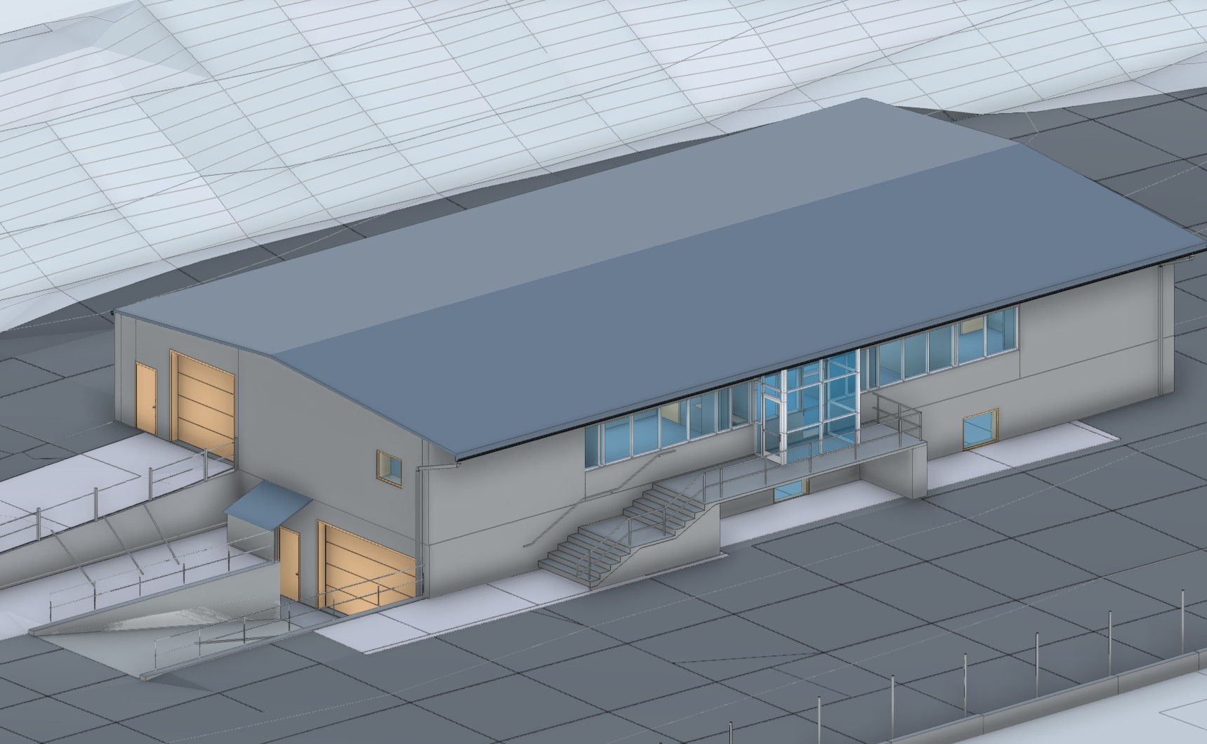
When City Approvals Stop a Project Construction projects rarely stall because someone forgot how to build.They stall because the information needed to move forward does not exist, is incomplete, or cannot be verified.…
-
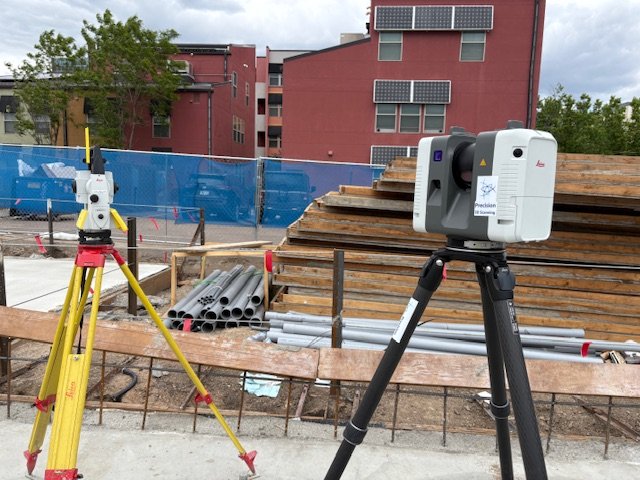
LiDAR vs Total Station: Understanding the Tools That Build and Verify the Modern Jobsite
LiDAR and total stations aren’t rivals—they’re complementary. Learn how both tools define accuracy and efficiency on Colorado jobsites with Precision 3D Scanning.
-
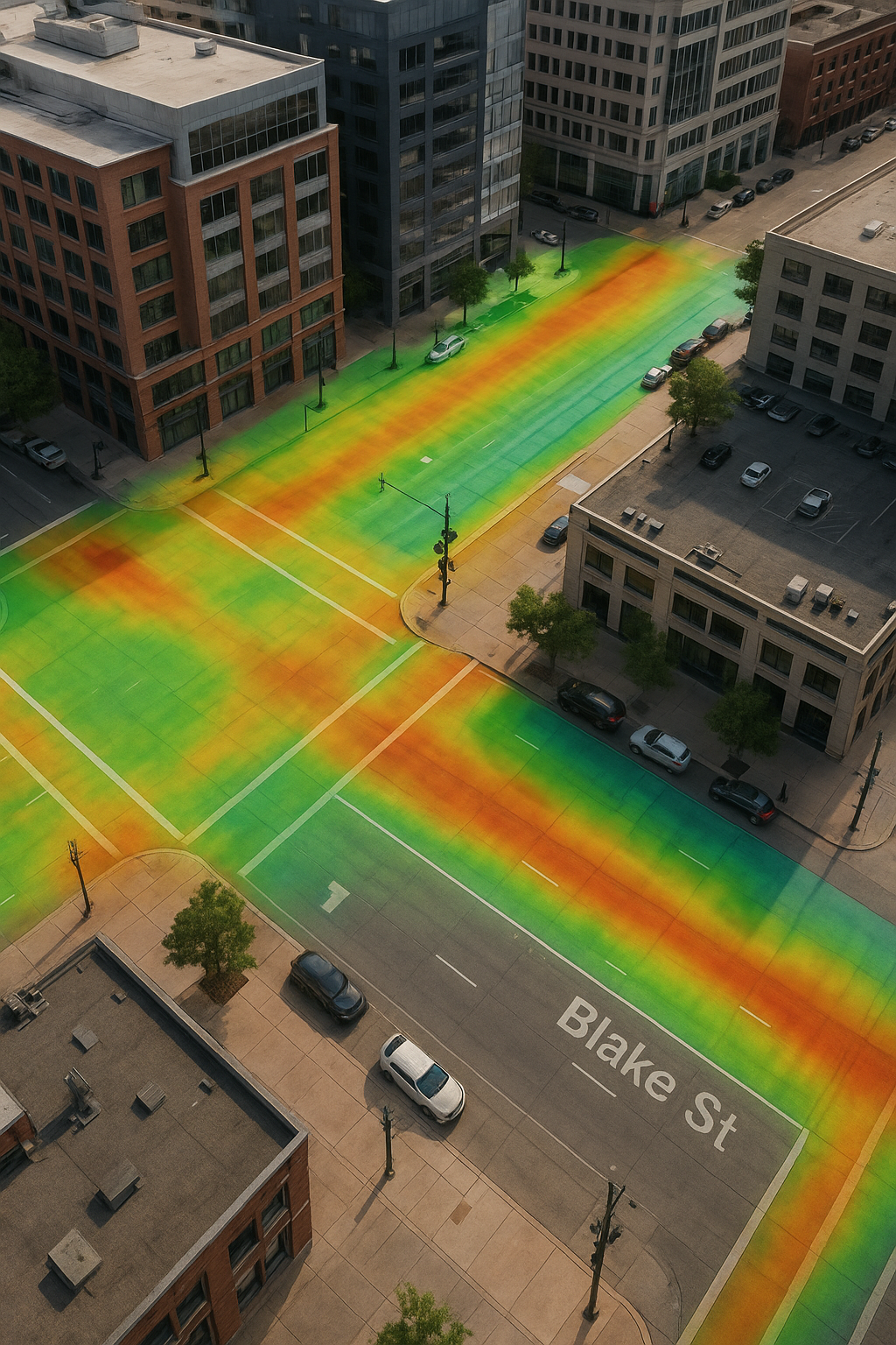
LiDAR Scanning in Urban Development: Protecting Developers From Hidden Risks
A detailed curb and gutter section with storm drain, overlaid with a vibrant LiDAR elevation heatmap. The color gradient highlights changes in elevation along the road and sidewalk, demonstrating how LiDAR scanning helps…
-
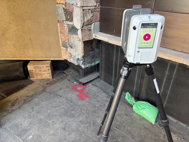
Precision 3D Scanning: When to Tie LiDAR Scans to Survey Control in Denver and Colorado Projects
On-site with the Leica RTC360 in Denver, Precision 3D Scanning ties LiDAR scans to survey control points for unmatched accuracy. This workflow ensures dependable as-builts, eliminates costly errors, and provides architects, engineers, and…
-
From Scan to BIM: How LiDAR Scanning Creates Accurate Digital Models in Denver and Beyond
When architects, engineers, and contractors work from outdated drawings or incomplete site info, mistakes add up fast. Wrong dimensions, field rework, material waste, and blown schedules will ruin a project. That’s where Precision…
-
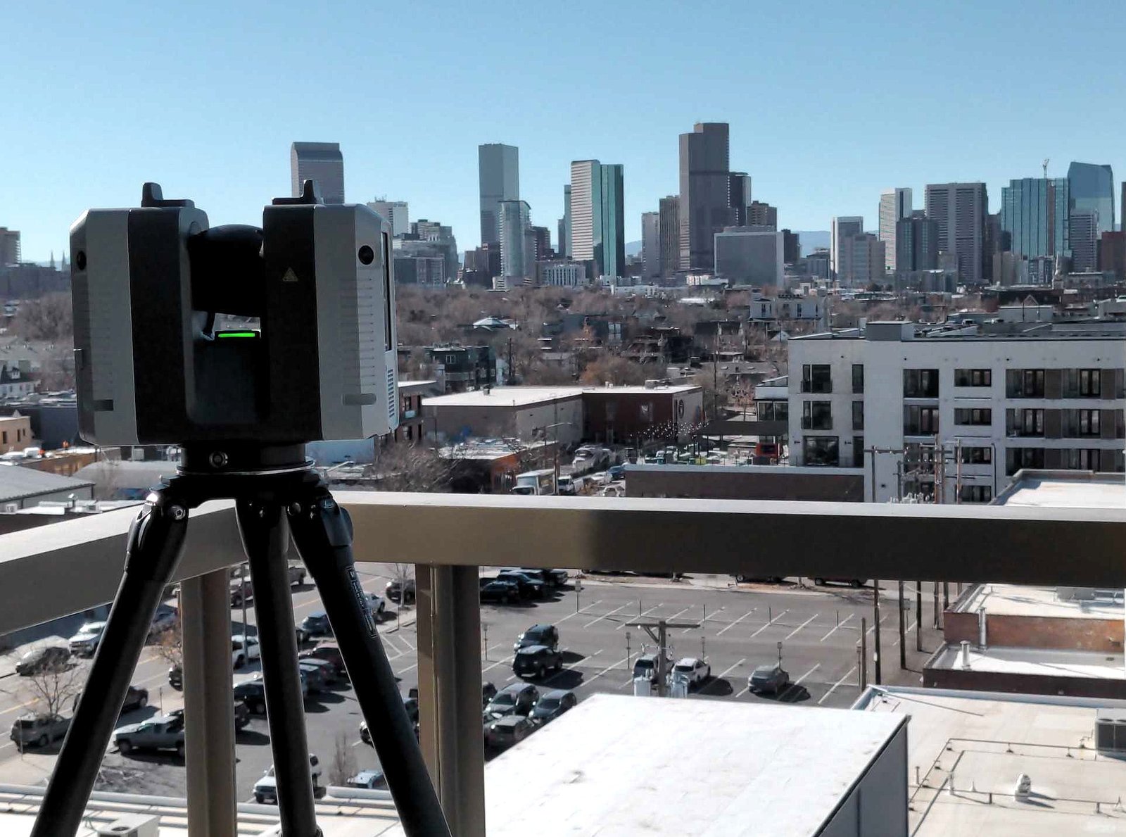
3D Scanning Services in Denver for Construction & Real Estate
Precision 3D Scanning captured this photo of our LiDAR scanner overlooking downtown Denver. We use this scanner to deliver accurate floor plans, BIM models, square footage verification for realtors, and concrete elevation heat…
-
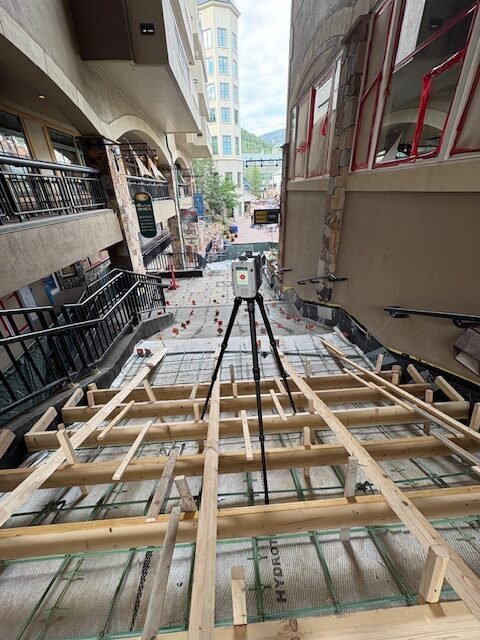
LiDAR Scanning for Metal Fabrication in Denver: From Scan to Solid
Joe Trujillo of Precision 3D Scanning delivers accurate LiDAR scanning for metal fabrication projects in Denver and across the U.S. Using advanced technology like the Leica RTC360, we capture precise site data and…
-
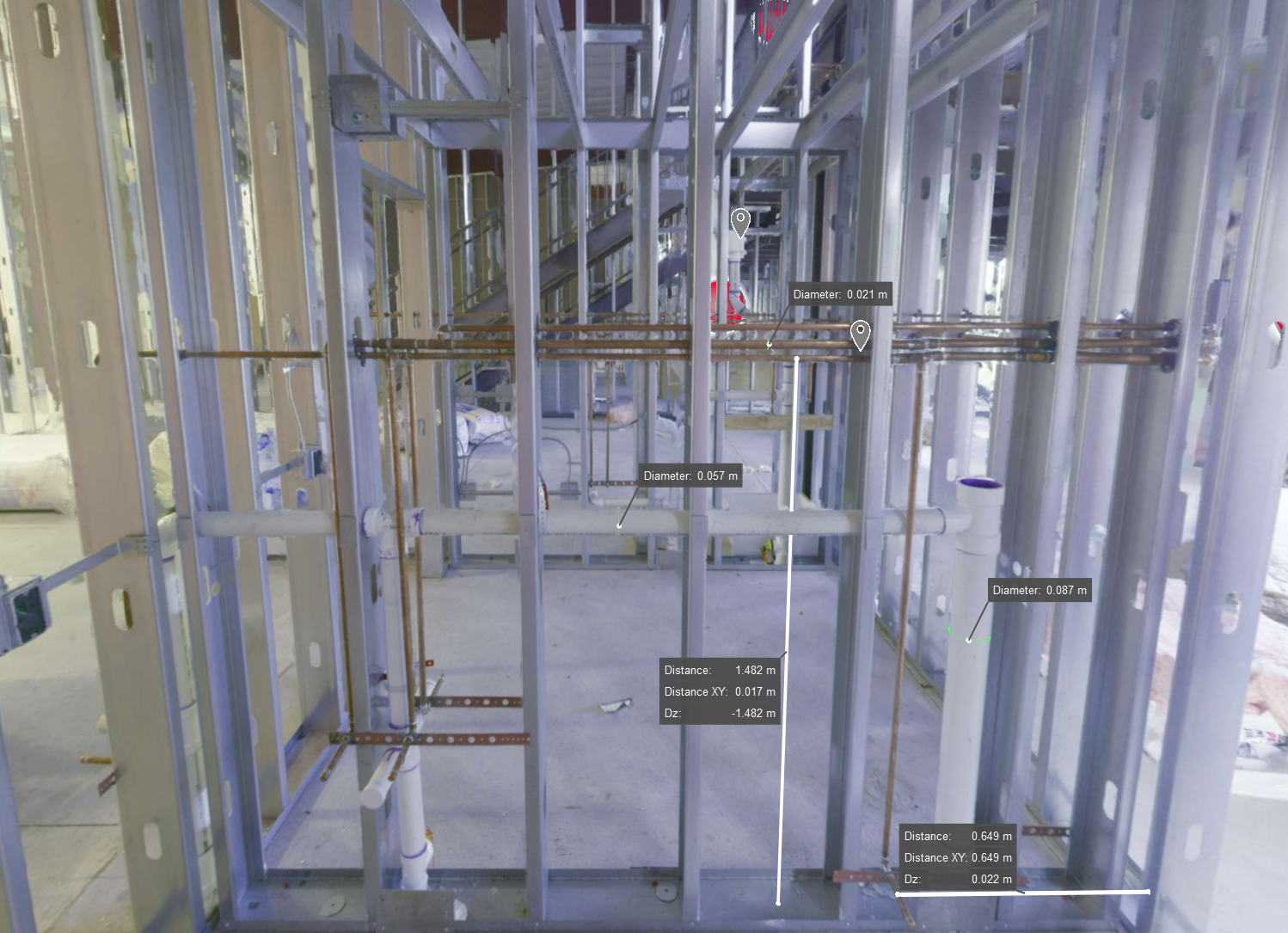
Why LiDAR Scanning Beats Photos for As-Built Documentation in New Construction
3D laser scanning image of a framed wall in new construction, showing exposed MEP systems for creating accurate digital as-builts before finishes are applied
-
How LiDAR Scanning Streamlines Commercial Real Estate
LiDAR scanning gives commercial real estate teams fast, accurate building data. From leasing to planning, see how brokers and owners use it to market smarter and close faster.
-

How LiDAR Scanning Helps Realtors Sell Smarter
A Better Way to Show the Full Picture In real estate, first impressions matter. Using LiDAR for real estate listings helps buyers and sellers get a clearer view from the start. But photos…
-

How LiDAR Scanning Enhances Jobsite Safety
The Challenge of Jobsite Safety Construction sites are unpredictable. They shift daily with equipment, people, and material in constant motion. In this environment, safety becomes a moving target. But with LiDAR, you gain…
-
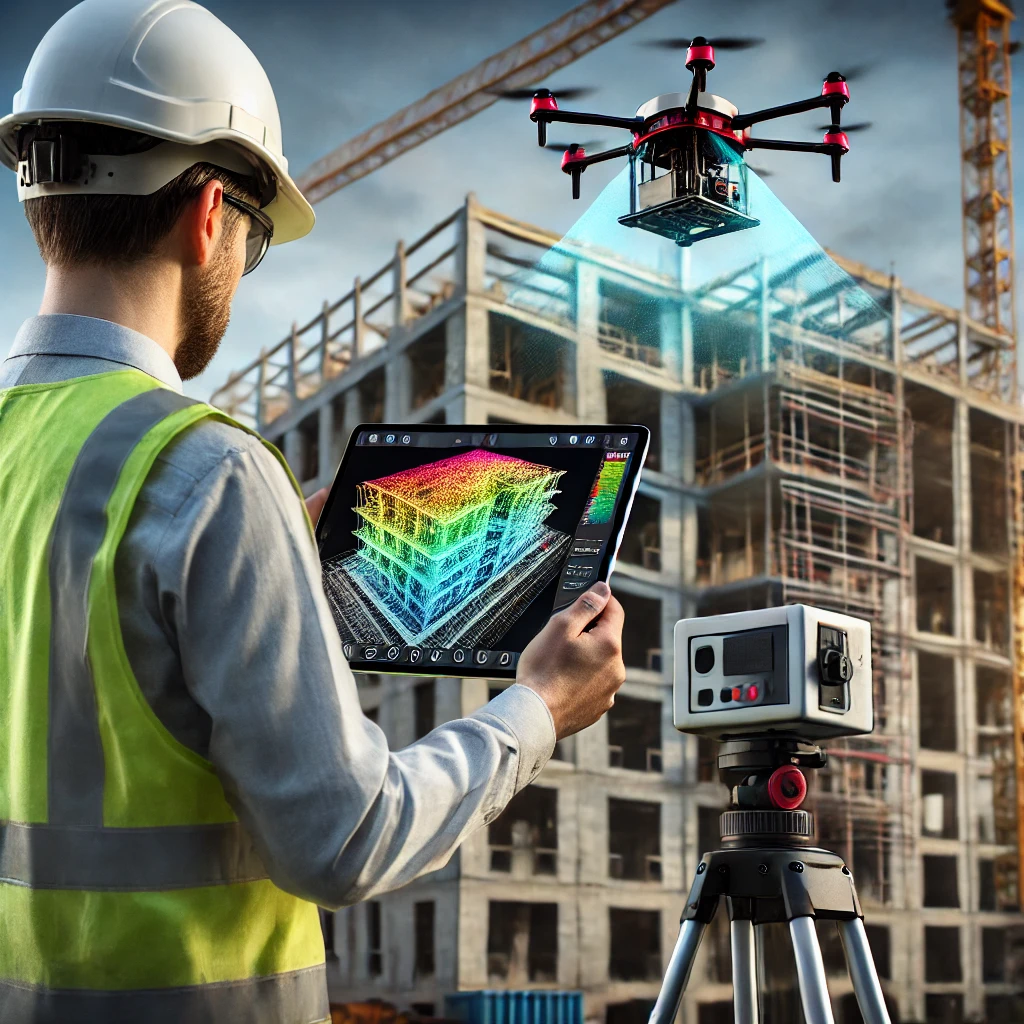
LiDAR Scanning For Third-Party Construction Inspections
Precision 3D Scanning performing 3rd party lidar scan for point cloud creation. Used in Revit and AutoCad.
-
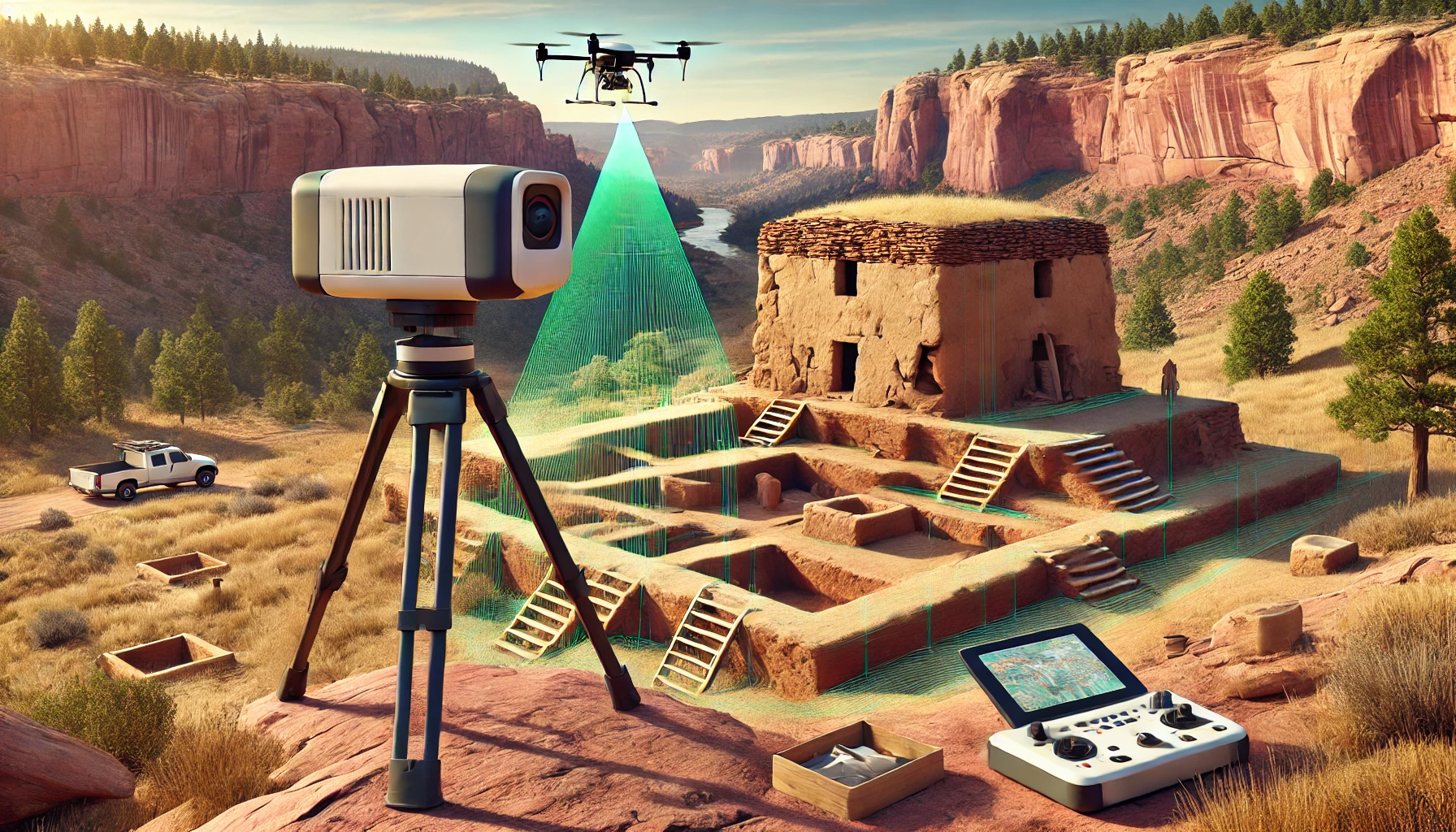
Preserving Colorado’s Historical Sites with LiDAR Scanning
LiDAR Scan of Historical Preservation Site
-
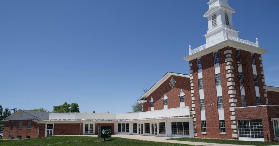
Case Study: Modernizing 6245 Garrison Street with LiDAR Technology
Background The Mile High Vineyard Church in Arvada, Colorado, recently began an exciting project: renovating their new building at 6245 Garrison Street. This property, with its 34,000 square feet spread across three levels…
-
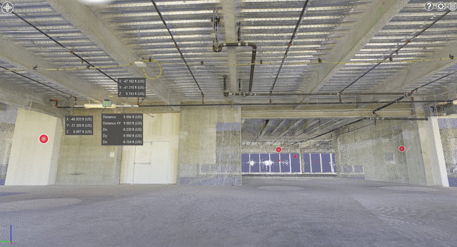
How 3D LiDAR Scanning is Changing the Fire Protection Industry
Fire Sprinkler System Measurements using Point Cloud and 3D Lidar Scanning
-
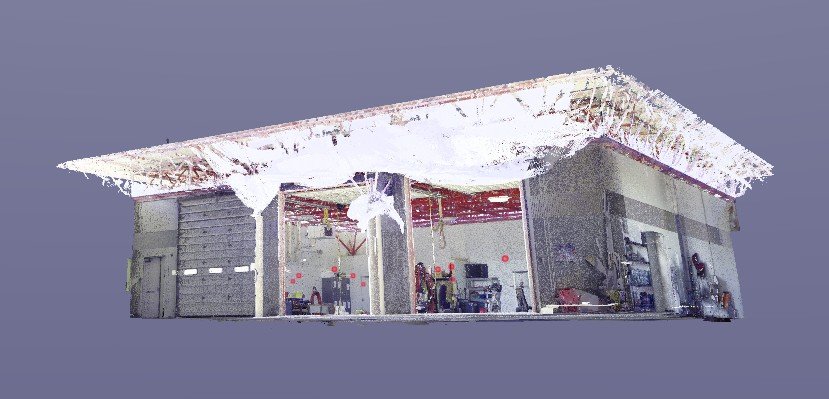
Case Study: Revolutionizing Renovations at Colorado Springs Fire Department Station #25
Client: Mark Young ConstructionLocation: Colorado Springs, Colorado Mark Young Construction embarked on a significant renovation of the Colorado Springs Fire Department Station #25, only to face a critical challenge: the station’s garage had…
-
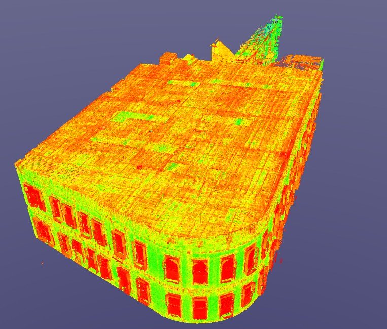
Bringing History Back to Life: Restoring the 1892 Ochiltree Block Building
Nestled in Denver’s Highlands District, the Ochiltree Block building at 2935 Zuni stands as a monument to 19th-century architectural craftsmanship. Its rounded corner design, arched windows, and red brick façade have been a…