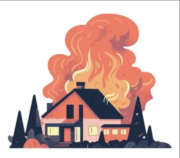
Your home is a sanctuary filled with memories, cherished belongings, and your family’s safety. Ensuring its protection in the event of unexpected incidents is paramount. While traditional methods of documenting your property for insurance claims have served their purpose, technological advancements have introduced more accurate and efficient options. In this blog, we will explore how 3D Lidar scanning and photos from a Leica RTC 360 scanner can empower homeowners to document their property comprehensively for insurance purposes.
Understanding 3D Lidar Scanning and Leica RTC 360
Before we dive into the benefits of these technologies for insurance documentation, let’s gain a better understanding of what they entail:
3D Lidar Scanning: Lidar, short for “Light Detection and Ranging,” is a technology that employs lasers to measure distances with exceptional precision. In 3D Lidar scanning, lasers create highly detailed three-dimensional models of objects or spaces. Originally employed in fields like archaeology and geology, Lidar scanning is now revolutionizing how homeowners protect their properties.
Leica RTC 360: The Leica RTC 360 is a state-of-the-art laser scanner is for professionals in various industries, including construction, surveying, and, importantly, insurance documentation. It’s cutting-edge technology is the best in the market. The RTC 360 captures both 3D point clouds and high-resolution panoramic photos rapidly.
For more information about our equipment, click here: https://leica-geosystems.com/products/laser-scanners/scanners/leica-rtc360
The Traditional Way vs. 3D Lidar Scanning with Leica RTC 360
Traditionally, homeowners have documented their properties for insurance purposes using methods such as photography and written inventories. However, these approaches have notable limitations:
1. Inaccuracy: Traditional photos may not capture every detail, and written inventories can be incomplete or outdated.
2. Subjectivity: Insurance claims based on photos or lists can be subject to interpretation, leading to disputes.
3. Inefficiency: Gathering and organizing the necessary information manually is a time-consuming and often burdensome process.
Now, let’s explore how 3D Lidar scanning with Leica RTC 360 addresses these limitations:
1. Unparalleled Accuracy: The Leica RTC 360 scanner creates a highly accurate, digital replica of your property, capturing every minute detail, from the dimensions of rooms to the layout of furniture. This level of precision leaves no room for ambiguity in the event of a claim.
2. Objective Documentation: The data collected is objective and impartial, reducing the potential for disputes. Insurance companies can rely on the objective representation of your property’s condition.
3. Efficiency: Leica RTC 360 is incredibly efficient, capable of scanning an entire property in a matter of hours. This minimizes the time and effort required compared to traditional methods.
Benefits of 3D Lidar Scanning with Leica RTC 360 for Homeowners
Now that we understand the advantages let’s delve into the specific benefits for homeowners:
1. Comprehensive Documentation: Every aspect of your property is captured in meticulous detail, from floor to ceiling. Ensuring that no item or feature is overlooked when making an insurance claim.
2. Impeccable Condition Records: The scan provides an indisputable record of your property’s condition at the time of scanning. Any changes, damages, or losses can be easily compared to the original scan.
3. Expedited Claims Processing: In the unfortunate event of a claim, 3D Lidar scanning expedites the process. Insurance adjusters can remotely assess the damage by navigating the 3D model and reviewing high-resolution photos, potentially speeding up claim processing.
4. Detailed Inventory: Beyond the structure itself, the scan allows you to create a comprehensive inventory of your possessions. This is particularly valuable for high-value items like artwork, jewelry, or electronics.
5. Enhanced Security: The scan serves as a security measure. In case of a break-in, it can assist law enforcement by providing a detailed record of your property’s layout and contents.
6. Future Planning: The 3D model of your home utilizes the details for future renovations or improvements. It serves as a digital blueprint that guides contractors and architects.
Start Here:
RTC 360 scanner can empower homeowners to document their property for insurance purposes. If you’re convinced that 3D Lidar scanning is the ideal solution for your insurance documentation needs, here’s how to get started:
1. Find a Professional Scanning Service:
Seek out a reputable 3D scanning service that specializes in residential properties (Precision3dscanning.com) and is equipped with Leica RTC 360 technology.
2. Schedule a Scan
Coordinate with the scanning service to schedule a convenient time for the scan. It’s essential to clear the areas to be scanned of clutter for optimal results.
3. Review the Data:
Once the scan is complete, the scanning service will provide you with the 3D model and high-resolution photos. Take the time to review the data to ensure it accurately represents your property.
4. Secure Data Storage:
Safeguard the data securely, preferably in multiple locations, to prevent loss. You might consider cloud storage or external hard drives for redundancy.
5. Periodic Updates: As your property evolves over time, consider periodic rescans to keep the documentation up to date.
Conclusion: A Technological Leap for Homeowners
Investing in 3D Lidar scanning with Leica RTC 360 for insurance documentation is a transformative step in safeguarding your home and possessions. RTC 360 scanner can empower homeowners to document their property for insurance purposes. It not only provides a level of accuracy, objectivity, and efficiency that traditional methods can’t match but also future-proofs your insurance strategy. Technology evolves, and staying ahead of the curve ensures that you are well-prepared for whatever challenges may arise. Your home is your sanctuary, and it’s time to protect it with the power of precision and innovation.
Do you have a property that you need digitized? click here: https://precision3dscanning.com/request-a-quote/