FF / FL
F and F Concrete
Floor flatness is important for many factors in the AEC Industry. At Precision 3D Scanning, we use point cloud laser scanning to generate concrete elevation heat maps. Get precise measurements for big and small project types.
-
Using LiDAR Scanning for Concrete Surface Analysis: Ensuring Flatness and Level
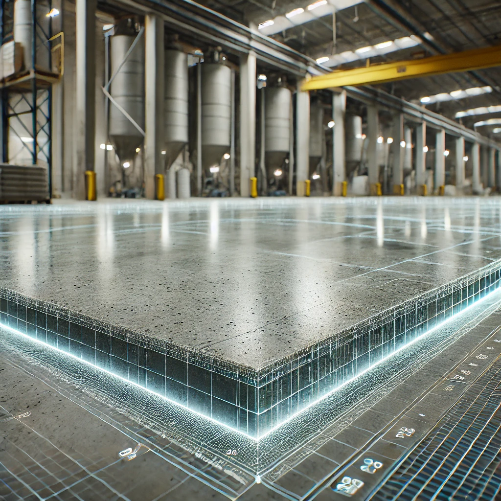
Using LiDAR Scanning for Concrete Surface Analysis
-
Stunning Concrete Elevation Heat Maps by Precision 3D Scanning

Concrete Elevation Heat Maps in action. Title: Unveiling the Beauty of Concrete Elevation Heat Maps: Precision 3D LiDAR Scanning In the dynamic world of architecture and construction, innovation meets precision through 3D LiDAR scanning. This groundbreaking technology unlocks a realm of possibilities, transforming mundane structures into visually breathtaking Concrete Elevation Heat Maps. Concrete elevation deviations…
-
3D Scanning to Point Cloud
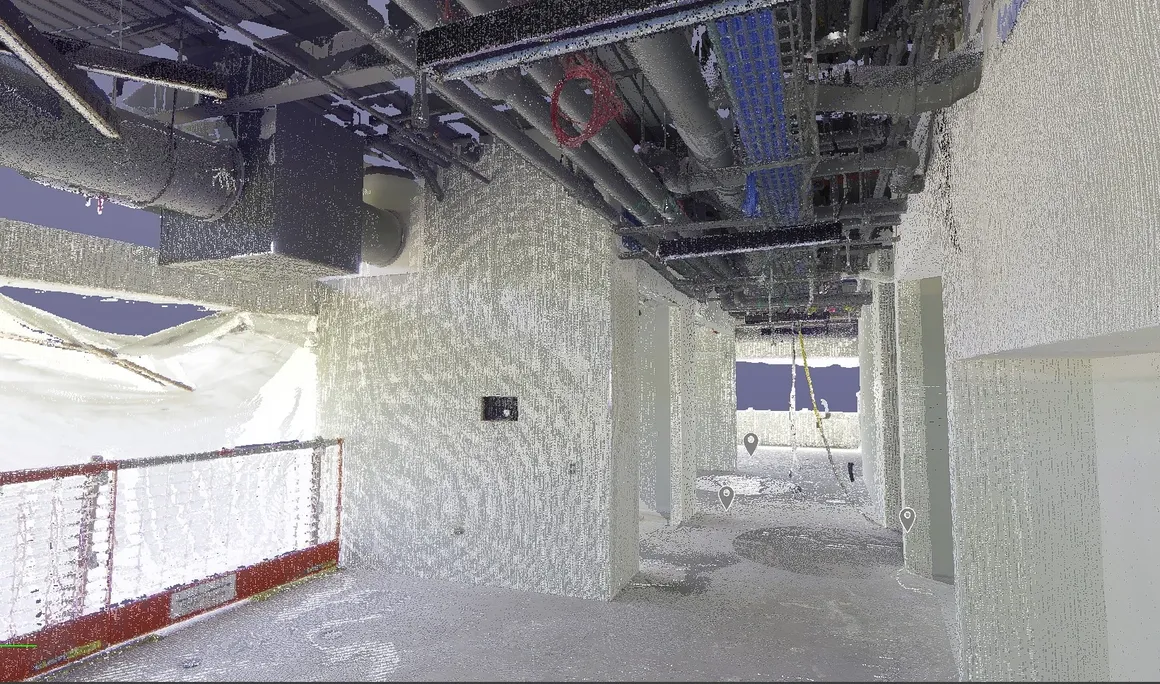
Use our construction service to go from plan to a 360 degree HDR Photo that you can measure. Point cloud creation with 3D scanning in the format of your choice to detailed reports such as a FF/FL Heat map of your project. Take virtual fly-through of your work in place. Point cloud creation with 3D…
-
The Power of Concrete Elevational Heatmaps in Construction
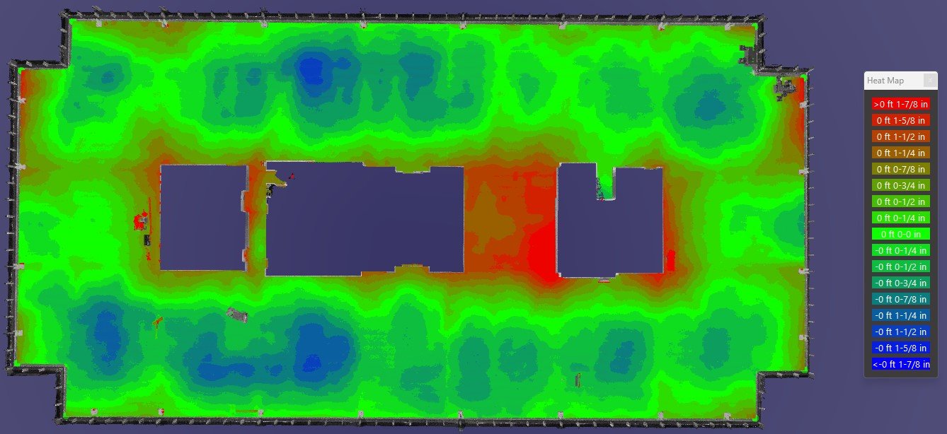
By utilizing Lidar Technology, Precision 3D scanning is a leader in concrete elevational heatmaps in concrete finishes.
-
Using LiDAR Scans to Address Surface Deficiencies to Achieve Project-Specific FF/FL

LiDAR Scans to Address Surface Deficiencies to Achieve Project-Specific FF/FL
-
3D Laser Scanning: Post-Tension Slabs Before and After Placement
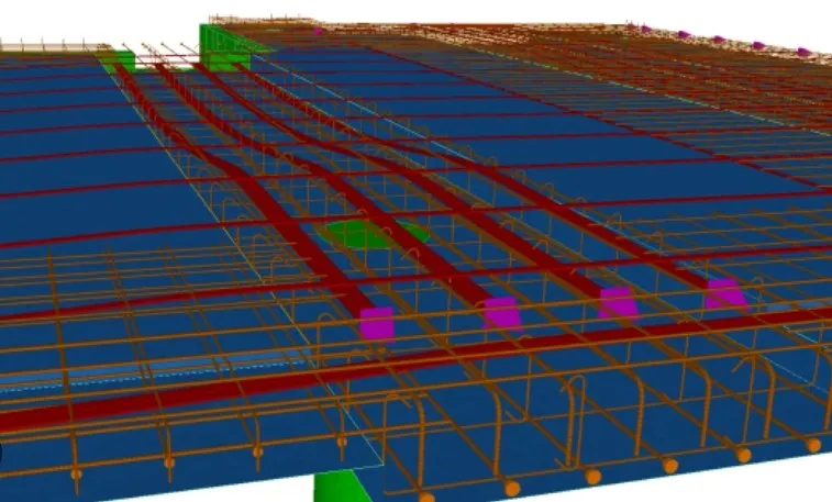
In the intricate world of construction, precision is paramount. Enter 3D laser scanning—a game-changing technology that is revolutionizing how we approach complex structural elements like post-tension slabs.3D LiDAR scanning of post-tension slabs transforms how teams capture detailed spatial data. This enables better understanding, planning, and verification both before and after concrete placement. In this article,…
-
Unveiling 3D LiDAR Scanning: Enhancing FF/FL and Heatmaps
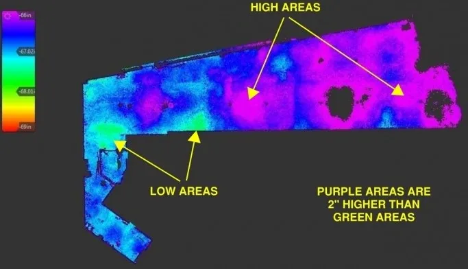
Unveiling 3D LiDAR Scanning: Enhancing FF/FL and Heatmaps

Revolutionizing the Construction Industry with Point Cloud 3D Scans