As-Built Documentation
-
3D Scans in Real Estate, As-Built Documentation, for Property Developers, for Property Owners, Joe Trujillo Precision 3D Scanning, LiDAR scanning Colorado
LiDAR Scanning in Urban Development: Protecting Developers From Hidden Risks
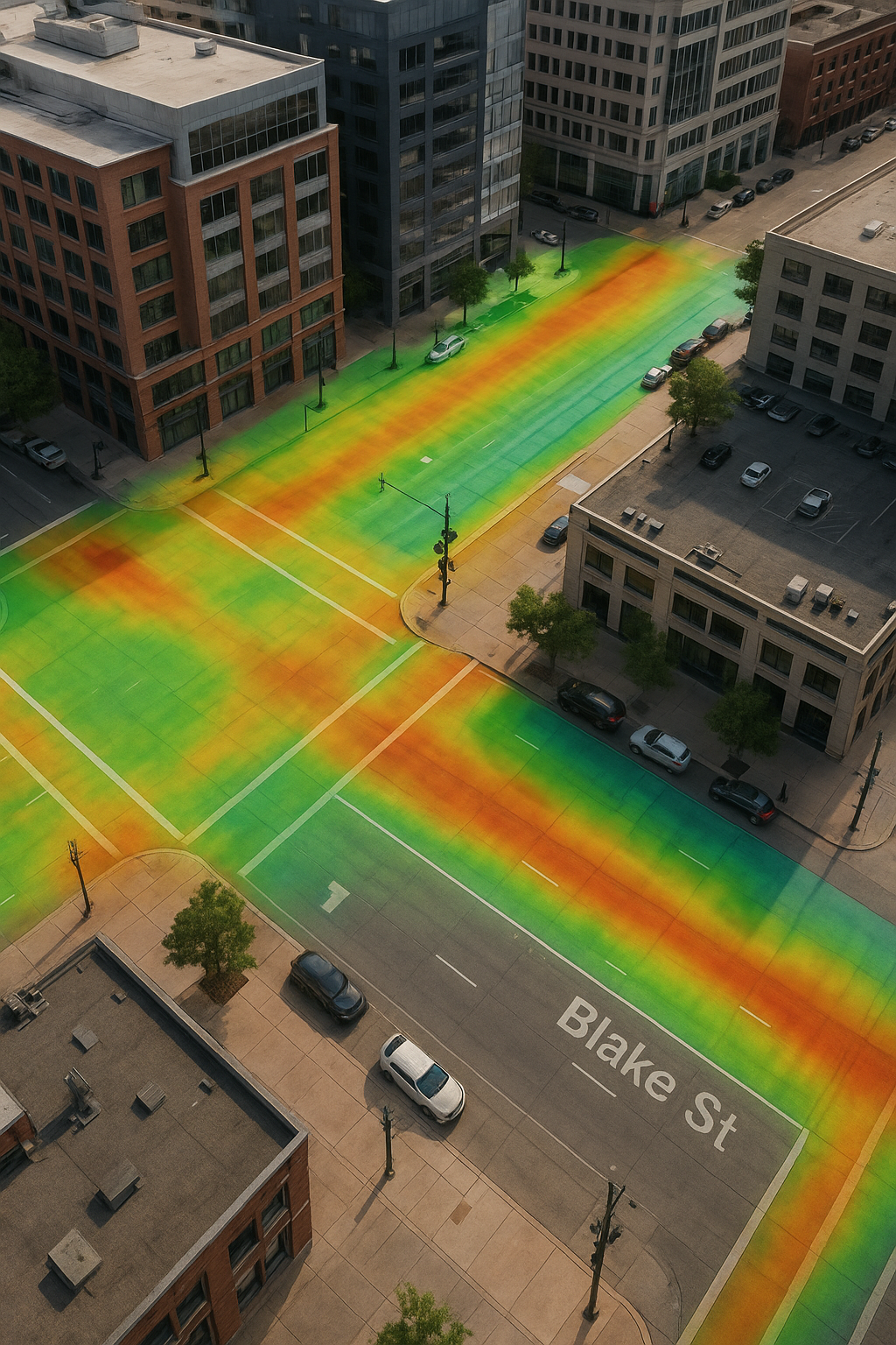
A detailed curb and gutter section with storm drain, overlaid with a vibrant LiDAR elevation heatmap. The color gradient highlights changes in elevation along the road and sidewalk, demonstrating how LiDAR scanning helps developers analyze drainage flow and protect urban projects from future infrastructure risks.
-
3D Scans and Construction, As-Built, As-Built Documentation, BIM Ready Models Colorado, for Architects, for Property Developers, for Property Owners, LiDAR scanning Colorado, LiDAR scanning Denver, Point Cloud to Revit, Scan to BIM Denver
From Scan to BIM: How LiDAR Scanning Creates Accurate Digital Models in Denver and Beyond
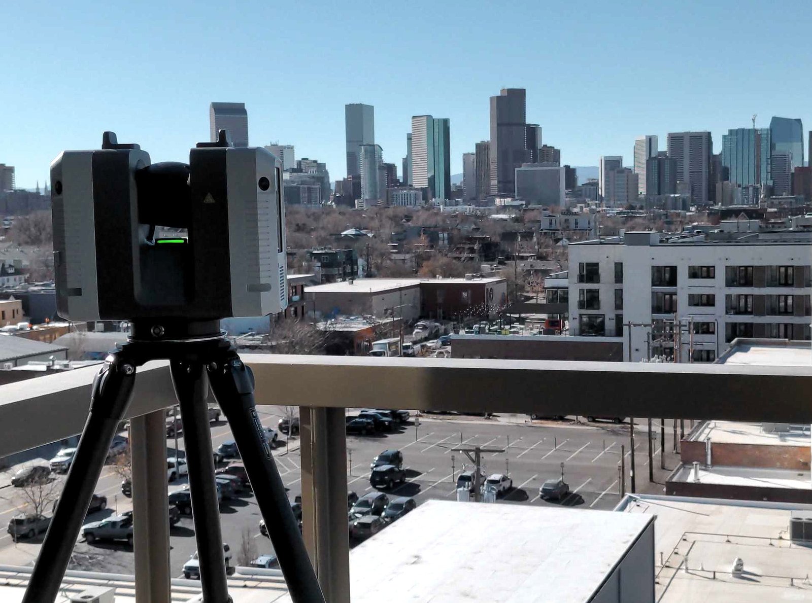
When architects, engineers, and contractors work from outdated drawings or incomplete site info, mistakes add up fast. Wrong dimensions, field rework, material waste, and blown schedules will ruin a project. That’s where Precision 3D Scanning steps in. Using our Leica RTC360 LiDAR scanner, we capture millions of measurement points in minutes, creating a precise point…
Revolutionizing the Construction Industry with Point Cloud 3D Scans