Today we address Architects and Designers on How Point Clouds Reduce Carbon Emission
As the world grapples with the growing urgency to combat climate change, architects and designers are increasingly focusing on sustainable practices. In construction and urban planning, reducing carbon emissions is a top priority. One of the cutting-edge technologies revolutionizing these fields is the use of point clouds. Point clouds, created from laser-based techniques like LiDAR, provide detailed 3D data of physical spaces. Architects and designers use this technology to improve efficiency, optimize resources, and reduce environmental impact. Here, we explore how point clouds help reduce carbon emissions in construction and urban planning. This technology plays a key role in shaping greener cities and buildings. We also present a real-world case study showing how architects integrate point clouds into their designs to create sustainable environments.
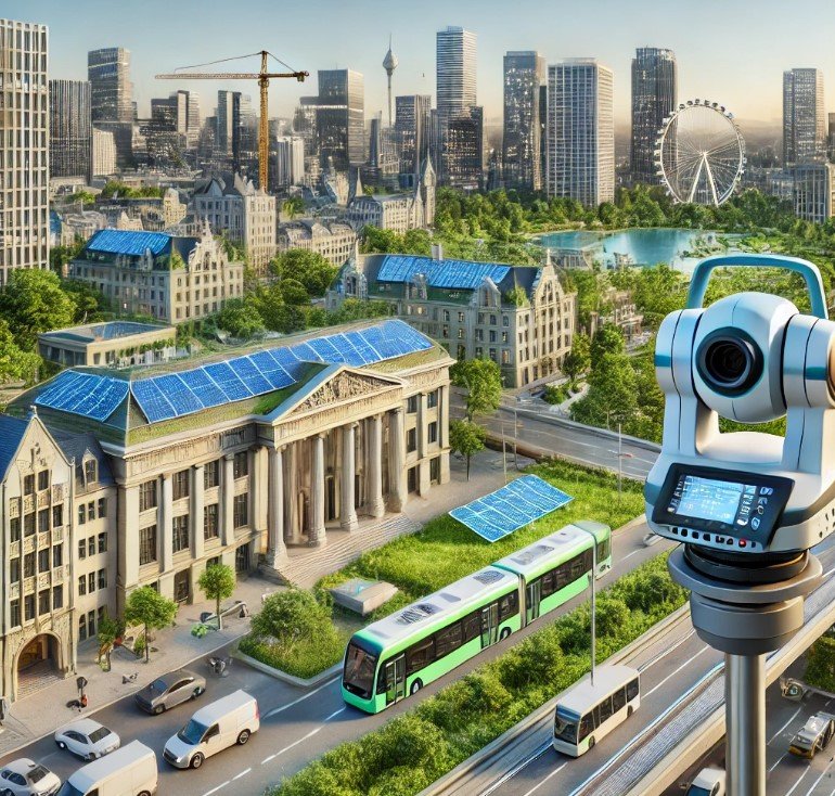
What Are Point Clouds?
A point cloud is a collection of data points in space, generated through 3D scanning technologies such as LiDAR. Each point represents a specific coordinate on an object’s surface, creating a detailed representation of its size, shape, and position. When millions of these points are combined, they form a dense 3D model of buildings, landscapes, or other structures.
For architects and designers, these digital representations are invaluable. They offer an accurate and comprehensive view of existing conditions, enabling professionals to make informed decisions about design, planning, and resource allocation. The precision offered by point clouds ensures minimal errors and promotes sustainable construction practices by reducing waste, enhancing energy efficiency, and optimizing material use.
You can learn more about point clouds here: https://en.wikipedia.org/wiki/Point_cloud
How Point Clouds Help Reduce Carbon Emissions
Minimizing Material Waste
One of the most significant sources of carbon emissions in construction is material waste. Traditional construction often involves imprecise measurements, leading to over-ordering of materials like concrete, steel, and wood. These excess materials either go unused or are discarded, contributing to both financial costs and carbon emissions associated with production, transportation, and disposal.
Point clouds provide an unprecedented level of accuracy in measuring existing structures and landscapes. By capturing the exact dimensions of a space, architects can design with pinpoint precision, ensuring that only the necessary materials are used. This optimization reduces the amount of raw materials required, thereby lowering the carbon footprint of the project.
For example, when designing an extension to an existing building, a point cloud can provide the precise geometry of the existing structure, allowing designers to integrate new elements seamlessly without overcompensating with extra materials. This level of precision minimizes construction waste, directly contributing to lower carbon emissions.
Improving Energy Efficiency
Energy efficiency is a cornerstone of sustainable design, and point clouds play a critical role in achieving it. By using 3D models generated from point clouds, architects can analyze how buildings interact with their environments. These models help identify opportunities for optimizing energy consumption through better building orientation, window placement, and natural ventilation.
Point clouds allow designers to simulate how sunlight moves across a building throughout the day and across different seasons. This information enables them to position windows, solar panels, and shading devices in ways that maximize natural light while minimizing heat gain, reducing the need for artificial lighting and air conditioning. The result is a building that uses less energy, translating to lower operational carbon emissions over its lifecycle.
Additionally, point clouds help architects design better insulation systems by accurately mapping areas where heat loss or gain might occur. With these insights, they can implement energy-saving solutions, such as adding thermal insulation or selecting materials with high energy efficiency ratings.
Promoting Adaptive Reuse and Retrofitting
The demolition of old buildings and the construction of new ones generate massive amounts of carbon emissions. An alternative approach that architects and designers are increasingly adopting is adaptive reuse—the process of repurposing existing buildings for new functions. Retrofitting old buildings to meet modern sustainability standards also offers significant environmental benefits, as it reduces the need for new construction materials and preserves the embodied carbon in the original structure.
Point clouds make adaptive reuse and retrofitting easier and more efficient by providing detailed scans of existing structures. These scans allow architects to assess a building’s condition without invasive inspection methods. Designers can then create accurate models that show how modern systems, such as energy-efficient HVAC systems or solar panels, can be integrated into the existing framework.
For instance, in historic buildings, which often pose structural and design challenges, point clouds offer an invaluable tool for balancing preservation with modernization. By leveraging the detailed data from point clouds, designers can implement energy-efficient upgrades without compromising the integrity of the original design, thus reducing both carbon emissions and material waste.
Enhancing Collaboration and Reducing Travel
In large-scale construction projects, collaboration between architects, engineers, and other stakeholders is essential but often involves frequent site visits. These site visits can contribute significantly to a project’s carbon footprint due to transportation emissions. Point clouds mitigate this issue by allowing teams to work from highly accurate 3D models remotely, minimizing the need for physical travel.
Point clouds provide all stakeholders with a virtual version of the site, which can be accessed and analyzed from anywhere. This virtual collaboration allows architects and designers to share detailed plans and make decisions in real time, without the environmental cost of travel. By reducing transportation-related emissions, point clouds contribute to a greener project lifecycle.
Optimizing Urban Planning for Sustainability
On a larger scale, point clouds play a pivotal role in urban planning by offering precise data on entire cityscapes. Urban planners use 3D models to design cities that lower carbon emissions through optimized infrastructure, green spaces, and efficient transit.
Point clouds help planners analyze traffic patterns and design roadways or transit systems that reduce congestion and vehicle emissions. Point clouds enable planners to balance urban development with natural environment preservation by mapping green spaces and buildings. This holistic approach promotes sustainable urban growth that prioritizes both the built environment and the reduction of carbon emissions.
Case Study: Reducing Carbon Emissions with Point Clouds in Copenhagen
Project Overview
A successful case study of how point clouds can help reduce carbon emissions comes from the city of Copenhagen, Denmark. Copenhagen is widely recognized for its commitment to sustainability and reducing carbon emissions. They have the ambitious goal of becoming carbon-neutral by 2025. To achieve this, the city’s architects and urban planners have integrated point cloud technology into several key projects, particularly in retrofitting existing buildings and optimizing urban spaces.
Challenges
Copenhagen faces the challenge of balancing the preservation of its historic architecture with the need for modernization and energy efficiency. The city’s old buildings, many of which date back centuries, contribute significantly to carbon emissions due to their outdated heating and insulation systems. However, demolishing these buildings to construct new, energy-efficient structures would not only be costly but also result in significant carbon emissions from demolition and new construction.
How Point Clouds Reduce Carbon Emission
Retrofitting Historic Buildings
In one of Copenhagen’s most iconic districts, Nyhavn, point clouds were used to retrofit several historic buildings. LiDAR scans provided detailed 3D models of these structures, capturing every architectural detail and structural element. Using these point clouds, architects developed plans to modernize the buildings without altering their historic facades.
The design team used point cloud data to identify where to add insulation, upgrade windows, and install solar panels. The retrofit significantly reduced energy consumption without compromising the buildings’ cultural value. This approach also saved the city from generating carbon emissions that would have resulted from demolishing and rebuilding.
Optimizing Urban Green Spaces
Planners used point clouds to analyze green spaces in Copenhagen. They assessed areas for planting trees to reduce heat islands. These trees not only absorb carbon dioxide but also help regulate temperatures, reducing the demand for air conditioning in nearby buildings.
Using point cloud data, the city also optimized public transportation routes. Thus, reducing traffic congestion and promoting the use of bicycles and electric vehicles. The precise mapping of roads and sidewalks allowed for the creation of more efficient transit networks. This further reduced carbon emissions from transportation.
Results
The use of point cloud technology in Copenhagen has yielded impressive results. The retrofit of the Nyhavn district buildings resulted in a 30% reduction in energy consumption, significantly lowering carbon emissions. Additionally, the optimization of urban green spaces and transportation networks helped the city take substantial steps toward its goal.
How Point Clouds Reduce Carbon Emission
Architects and designers are leveraging point clouds to revolutionize the construction and urban planning industries by reducing carbon emissions. From minimizing material waste and improving energy efficiency to promoting adaptive reuse and enhancing collaboration, point clouds offer precise, data-driven solutions that help reduce the environmental impact of construction projects. As the case study in Copenhagen demonstrates, integrating point cloud technology into architectural practices can lead to significant reductions in carbon emissions. They are shaping a more sustainable future for cities and communities around the world.
By embracing these innovative tools, architects and designers continue to drive positive environmental change. Addressing one building and one city at a time .
Learn more here: http://www.precision3dscanning.com
Have a project and need a point cloud created https://precision3dscanning.com/request-a-quote/