Denver’s construction and real estate markets move fast. When deadlines are tight, mistakes from bad measurements cost more than money — they cost time, materials, and reputation. That’s where 3D scanning services in Denver come in.
At Precision 3D Scanning, we capture buildings and job sites with millimeter accuracy. Whether you need BIM models, floor plans, square footage verification, digital fly-throughs, or concrete elevation heat maps, we provide the data you need to make smart, confident decisions.
What Are 3D Scanning Services?
3D scanning uses LiDAR (Light Detection and Ranging) to capture millions of measurement points in seconds. These points create a detailed point cloud that can be transformed into:
• BIM-ready models for architects and engineers
• 2D floor plans and elevations for design teams
• Digital walk-throughs for real estate and property marketing
• Concrete elevation heat maps for contractors verifying slabs
• FF/FL flatness and levelness testing for construction QA
Why Denver Projects Need 3D Laser Scanning
Denver’s mix of historic buildings, modern high-rises, and fast-paced development makes accuracy critical.
• Renovations in older neighborhoods → reveal sloped floors and uneven walls before design begins.
• New construction downtown → reduce rework with accurate as-builts.
• Real estate listings → verify square footage and provide immersive tours.
Denver contractors and architects rely on 3D scanning to reduce risk and keep projects on schedule.
Use Cases for AEC, Realtors & Developers
Architects & Engineers
• Get precise as-builts for design and clash detection.
• Start with a BIM model that reflects real-world conditions.
Realtors & Developers
• Offer verified square footage reports.
• Enhance marketing with 3D fly-throughs and floor plans.
General Contractors
• Validate concrete elevation heat maps before installs.
• Perform FF/FL testing to ensure compliance with tolerances.
Drone LiDAR Scanning in Denver
For large sites and terrain, drone LiDAR scanning extends coverage beyond ground-based scanners.
We deliver:
• Topographic maps for grading and site prep
• 3D terrain models for planning
• Combined RTC360 + Drone data for complete coverage
Why Choose Precision 3D Scanning?
• Local expertise in Denver and across Colorado
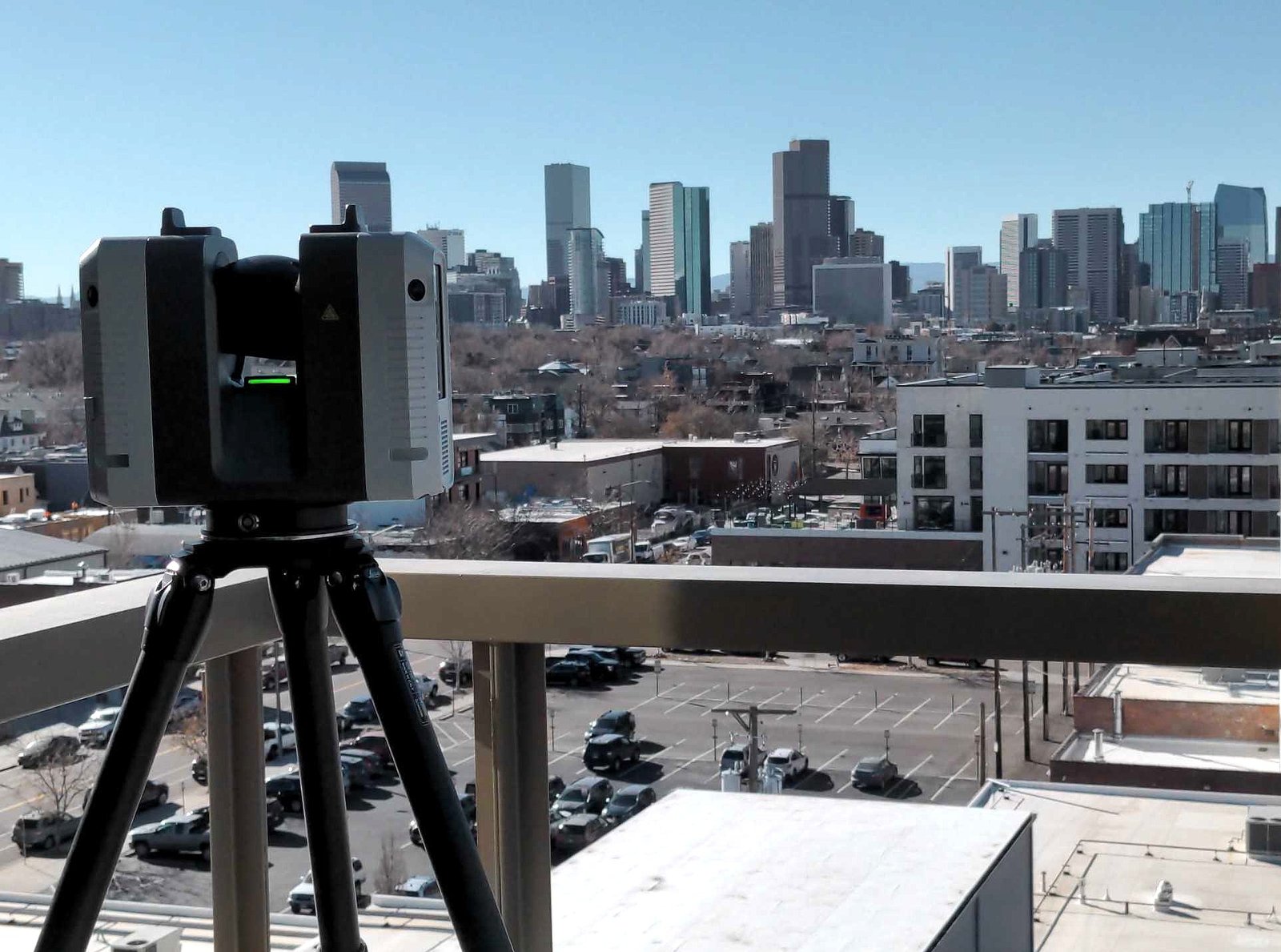
• Millimeter accuracy with the Leica RTC360
• Fast turnaround to keep projects moving
• Flexible deliverables: from single STP models to full BIM packages, 2D floor plans and Elevations
FAQs
Q1: How accurate are your 3D scans?
A1: Our Leica RTC360 captures data at millimeter accuracy, ensuring reliable results to within 2-4mm
Q2: Can you verify square footage for real estate listings?
A2: Yes — we provide certified square footage verification, ideal for Denver realtors and property managers.
Q3: Do you perform concrete flatness and levelness testing (FF/FL)?
A3: Yes — we create elevation heat maps and provide FF/FL testing to meet construction QA standards.
Q4: How long does a typical project take?
A4: Most scans are completed in a single day, with deliverables ready within a few days, depending on complexity.
Request a Fast Quote Today
Looking for reliable 3D scanning services in Denver? Whether you need a BIM model, floor plans, a digital fly-through, or a concrete elevation heat map, Precision 3D Scanning delivers the accuracy your project demands.