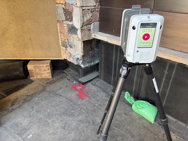
Construction projects across Denver and the Rocky Mountain region depend on accurate information. If measurements are wrong, designs fail, procurement is delayed, and costs increase. Precision 3D Scanning uses Leica RTC360 LiDAR scanning services to capture detailed existing conditions, but there is still an important decision for contractors, architects, and engineers to make: should the scan be tied to survey control.
Survey control is necessary when projects extend to property boundaries, connect to utilities, or must align with survey-based engineering data. In other cases, such as interior renovations, BIM modeling, or concrete flatness analysis, relative accuracy inside the scan is more than enough. Knowing when to tie a scan to control and when not to can save time, reduce change orders, and give the project team confidence.
This article explains when survey control is needed, the different ways to apply it with the Leica RTC360, examples from Colorado and nationwide projects completed by Precision 3D Scanning, what it means to the customer, and the benefits of choosing the right approach.
When is Survey Control Needed
Survey control ties LiDAR scans to a known coordinate system, established by a licensed land surveyor. For Denver-area projects, this ensures the point cloud aligns with property boundaries, utility tie-ins, and architect or engineer design models.
Survey control is required when designs rely on legal property limits, when point clouds must merge with civil data, or when fabrication requires exact positioning. It is less critical for interior renovations, real estate documentation, or flooring projects where relative accuracy within the scan is sufficient.
How Precision 3D Scanning Ties RTC360 Scans to Control
Precision 3D Scanning offers several methods to tie Leica RTC360 LiDAR scans to survey control for Colorado and nationwide clients:
1. Target-based registration using surveyed spheres or checkerboards supplied by a surveyor.
2. Occupying control points established with GNSS or total station instruments.
3. Importing survey data files into Register360+ and linking them to identifiable features in the scan.
4. Hybrid methods that combine Leica’s VIS automatic registration with survey-locked control at key points.
More info Here: https://leica-geosystems.com/products/laser-scanners/scanners/leica-rtc360
Each method balances speed, accuracy, and cost depending on project needs.
Project Examples
Car Wash Renovation, Denver: The architect required plans for an addition but had no as-builts. Precision 3D Scanning used the Leica RTC360 to deliver a point cloud, Revit model, and 2D plans. Survey control was not needed since the project was internally focused.
Beaver Creek Resort Plaza: A general contractor needed precise slope and elevation data to order pre-sloped structural foam. Drone data failed to align, so Precision 3D Scanning tied the RTC360 scan to survey control, delivering millimeter accuracy in less than 24 hours. This allowed the GC to place orders without costly delays.
Concrete Floor Heat Maps: For Denver flooring contractors, we provided elevation maps that revealed high and low spots across slabs. Relative accuracy was sufficient since the focus was finish quality rather than property alignment.
What Survey Control Means to Customers
For general contractors, architects, engineers, and property developers in Denver and across Colorado, choosing survey control impacts confidence in design, collaboration between trades, and risk management. It ensures legal compliance for property boundaries, enables coordination with civil engineering data, and reduces change orders. Although survey control adds cost and setup, the avoided rework and schedule savings often deliver far more value.
Benefits of Choosing the Right Approach
When Precision 3D Scanning determines whether survey control is required, customers receive the right balance of speed and accuracy. The benefits include fewer change orders, reduced rework, better collaboration between trades, and trust in the data provided. This ensures projects across Denver, Colorado, and beyond move forward with confidence.
Conclusion
Survey control is not always necessary, but for projects tied to property boundaries, utilities, and civil data, it is essential. For interiors and finish analysis, relative accuracy may be all that is needed. Precision 3D Scanning uses Leica RTC360 workflows to deliver both, giving project teams across Colorado and nationwide the data they need to design, coordinate, and build without delays.
Ready to remove uncertainty from your next project?
Precision 3D Scanning delivers survey-accurate LiDAR data with the Leica RTC360 for contractors, architects, engineers, and property developers in Denver, across Colorado, and nationwide.
👉 Contact Precision 3D Scanning today to get a quote or sechdule your scan https://precision3dscanning.com/lidar-scanner-pricing-request-a-quote-precision-3d-scanning/