In the world of architecture, construction, and interior design, precise measurements and accurate representations of space are critical. Traditional methods of space planning often involve manual measurements, which can be time-consuming and prone to errors. Enter 3D LiDAR (Light Detection and Ranging) scanning—a game-changing technology that is transforming how professionals approach space planning. Precision 3D Scanning, a leader in this field, is at the forefront of this revolution, offering solutions that enhance accuracy, efficiency, and creativity.
What is 3D LiDAR Scanning?
LiDAR technology uses laser pulses to measure distances to objects and surfaces. By emitting millions of laser pulses per second and measuring the time it takes for each pulse to return, LiDAR scanners create detailed, accurate 3D representations of environments. These data points, known as “point clouds,” form a precise digital map of the scanned area.
Precision 3D Scanning uses state-of-the-art LiDAR technology to provide high-resolution, accurate scans. This advanced method is invaluable for various industries, particularly in space planning, where accurate measurements and detailed visualizations are essential.
The Advantages of 3D LiDAR Scanning in Space Planning
Unmatched Accuracy and Detail
One of the most significant advantages of 3D LiDAR scanning is its unparalleled accuracy. Traditional measurement methods can be susceptible to human error, leading to inaccuracies that can affect the entire project. In contrast, LiDAR scanning captures millions of data points within seconds, ensuring precise measurements down to the millimeter. This level of detail is crucial for architects, designers, and engineers who need to make informed decisions based on accurate spatial data.
Time Efficiency
Manual measurements are not only prone to errors but also time-consuming. Setting up equipment, measuring distances, and recording data manually can take hours, if not days, depending on the complexity of the space. 3D LiDAR scanning, however, can cover extensive areas quickly, capturing comprehensive data in a fraction of the time. This efficiency translates into faster project turnaround times and significant cost savings.
Comprehensive Data Collection
LiDAR scanners capture more than just basic measurements. They collect a wealth of information about the environment, including surface textures, shapes, and even colors. This comprehensive data is invaluable for space planning, as it allows professionals to understand the space in its entirety. Designers create more accurate and detailed plans.
Versatility and Flexibility
3D LiDAR scanning is highly versatile and used in various settings. From small residential spaces to large commercial buildings and complex industrial sites. Precision 3D Scanning technology is adaptable, making it suitable for any project regardless of size or complexity. This flexibility is beneficial for space planners who work on diverse projects and need a reliable solution that can meet their varying needs.
Enhanced Visualization and Communication
One challenge in space planning is effectively communicating ideas and plans to clients and stakeholders. 3D LiDAR scanning addresses this issue by providing detailed 3D models and visualizations. Making these easily shared and understood. These models offer a realistic representation of the space, allowing clients to visualize the final outcome better. This enhanced communication leads to more informed decision-making and ensures that all parties are on the same page throughout the project.
Applications of 3D LiDAR Scanning in Space Planning
Architectural Design
Architects/Designers can benefit significantly from 3D LiDAR scanning in the design phase. Accurate scans of existing structures provide a solid foundation for new designs. Additions or modifications become seamlessly integrated. The detailed point cloud is imported into CAD (Computer-Aided Design) software. This allows architects to create precise and realistic models. For example, integration not only improves design accuracy but also streamlines the workflow, saving time and reducing errors.
Interior Design
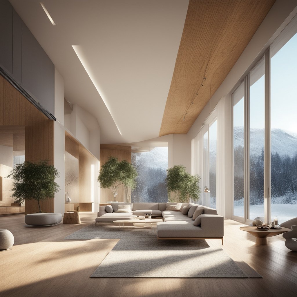
For interior designers, understanding the intricacies of a space is crucial for creating functional and aesthetically pleasing environments. 3D LiDAR scanning provides detailed information about room dimensions, ceiling heights, and other architectural features, enabling designers to plan with confidence. The ability to visualize the space in 3D also helps in experimenting with different layouts, furniture placements, and design elements, ultimately leading to more innovative and effective designs.
Construction Planning
In construction, precise measuring is essential for ensuring the structures is built according to plan. 3D LiDAR scanning offers an accurate representation of the site, helping project managers and engineers to plan and execute construction activities with precision. The detail in the scan is used to monitor progress, detects any potential issue, and verify work is being carried out as intended. This proactive approach minimizes errors and rework, leading to more efficient and cost-effective construction projects.
Historic Preservation
Preserving historic buildings and sites requires meticulous planning and attention to detail. 3D LiDAR scanning plays a vital role in this field by providing accurate and non-invasive documentation of historic structures. The detailed point clouds capture every aspect of the building.
This data can be used to create digital archives, plan restoration projects, and ensure that preservation efforts are carried out with the highest level of accuracy and respect for the original structure.
Facility Management
For facility managers, maintaining accurate records of building layouts and conditions is essential for efficient operations. 3D LiDAR scanning offers a reliable way to document existing conditions and create up-to-date floor plans. This information is invaluable for space utilization, maintenance planning, and renovations. By having access to accurate and detailed data, facility managers can make informed decisions that optimize the use of space and resources.
The Process of 3D LiDAR Scanning with Precision 3D Scanning
Working with Precision 3D Scanning to leverage the benefits of 3D LiDAR scanning for space planning involves a straightforward and efficient process:
Initial Consultation
The process begins with an initial consultation to understand the project’s specific needs and requirements. Precision 3D Scanning’s team works closely with clients to determine the scope of the scan, the areas to be covered, and any particular challenges that might need to be addressed.
On-Site Scanning
Once the project scope is defined, the on-site scanning takes place. Using advanced LiDAR scanners, the team captures detailed data of the environment. The scanning process is quick and non-invasive, causing minimal disruption to the site.
Data Processing
After the scanning is complete, the raw data is processed to create detailed 3D models and point clouds. This step involves filtering and refining the data to ensure accuracy and clarity. Precision 3D Scanning’s experts use specialized software to process the data and generate high-quality digital representations of the scanned space.
Deliverables
The final deliverables are provided to the client in the desired format, whether it’s a 3D model, point cloud data, or CAD files. These deliverables can be easily integrated into existing workflows and used for various applications, from design and planning to construction and maintenance.
Ongoing Support
Precision 3D Scanning offers ongoing support to ensure that clients can effectively utilize the scanned data. This support includes technical assistance, additional scans if needed, and consultation on how to best integrate the data into their projects.
Leading the Way
3D LiDAR scanning is revolutionizing the field of space planning, offering unprecedented accuracy, efficiency, and versatility. Precision 3D Scanning is leading this transformation, providing cutting-edge solutions that empower architects, designers, engineers, and facility managers to make informed decisions and create exceptional spaces. By embracing 3D LiDAR scanning, professionals in the space planning industry can enhance their workflows, improve project outcomes, and unlock new levels of creativity and precision. Whether it’s for architectural design, interior design, construction planning, historic preservation, or facility management, the benefits of 3D LiDAR scanning are clear—making it an indispensable tool in the modern era of space planning.
Ready to Start? Click Here.