
Enhancing Accuracy and Efficiency with LiDAR
Accurate, reliable information drives success in any AEC project. Whether you renovate or build new, precise data ensures better outcomes. Scan-to-BIM helps you achieve that precision. It uses LiDAR to convert real-world conditions into detailed Building Information Models (BIM).
What Exactly is Scan-to-BIM?
Scan-to-BIM captures building conditions with LiDAR scanning. We use the Leica RTC360, which quickly collects millions of data points.
These points form a 3D point cloud that represents the structure exactly as it stands. Results stay accurate within millimeters.
This method outperforms manual tape measurements or outdated drawings. LiDAR captures full spatial data, including irregularities.
It picks up misaligned walls and sloped floors—details traditional tools often miss. This prevents problems later in design or construction.
From Field Scan to BIM Model: Our Proven Workflow
Scan-to-BIM combines on-site scanning, advanced processing, and precise modeling. Each step builds on the last to deliver reliable, ready-to-use BIM data.
Here’s how we turn building scans into usable models:
- On-site Scanning: We use the Leica RTC360 scanner to perform rapid, high-density scans. This scanner captures up to 2 million points per second and completes full 360-degree images in under two minutes. Its Visual Inertial System (VIS) tracks scanner movement between stations, helping us register scans on-site. This reduces setup time and avoids gaps in coverage.
- Point Cloud Registration: We use Leica Cyclone REGISTER 360 to process and align the scans. The software cleans noise, applies color, and stitches multiple scans into a unified dataset. We validate accuracy by checking targets and alignment overlaps, ensuring data integrity before modeling.
- Integration into Revit: We bring the point cloud into Autodesk Revit using native tools. We create levels and grids first, then use the point cloud as a direct reference. For walls, floors, and structural elements, we trace directly on the scan to capture exact dimensions. We also check for alignment between floors and flag structural shifts.
- Customized BIM Modeling: We build models to match your project’s level of detail. For LOD200, we include primary geometry and layout. For LOD300, we add dimensional accuracy, material layers, and key system elements. We also model sloped surfaces and non-vertical walls when required for renovation or retrofit projects.
- Deliverable Generation: Our outputs include 2D floor plans, reflected ceiling plans, building sections, and 3D Revit models. We export views with clean annotations and consistent line weights for easy coordination. We also provide clash detection reports and issue logs if requested.
The Practical Benefits for AEC Professionals
- Minimize Field Visits: Capture everything in one visit and reduce repeat trips.
- Reduce Rework: Spot issues early and avoid changes mid-project.
- Speed Up Design: Base your work on accurate data, not guesswork.
- Improve Coordination: Share a reliable model with all project teams.
Ideal Use Cases
- Tenant Improvements: Get accurate layouts before you demo or design.
- Historical Renovations: Document conditions without damaging sensitive materials.
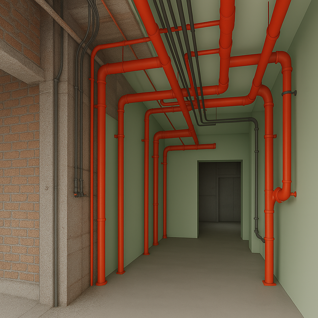
- MEP Coordination: Plan around existing systems and avoid conflicts.
- Multi-Level Projects: Understand how floors align before construction.
Why Accuracy at the Start Saves Time Later
Bad data causes costly rework. When teams guess, mistakes happen.
Scan-to-BIM captures real-world conditions at the start. This cuts change orders, delays, and budget issues.
Accurate models help detect clashes and plan prefabrication. Everyone benefits from a clear, shared understanding of the site.
Real-World Project Snapshot
Historic Commercial Renovation – Downtown Core
We recently completed a scan-to-BIM project for a century-old commercial building undergoing renovation. The original drawings were outdated and didn’t reflect the current structure. Using the Leica RTC360, we scanned two floors in one day without disrupting the tenants. The point cloud revealed sloped floors, misaligned walls, and irregular ceiling heights—none of which were noted in the original plans.
With this data, an accurate Revit model helped the architect redesign the interior layout with confidence. MEP contractors could use our model to plan new system routes around existing infrastructure, avoiding major clashes. Thanks to the early scan, the client reduced rework, stayed on schedule, and cut unexpected costs.
Final Thoughts
Scan-to-BIM isn’t just a tool—it’s a smarter way to work. It gives you confidence from the start and helps you finish strong.
If your next project depends on accurate conditions (and it does), let’s connect. We’ll show you what LiDAR can do.
Reach out for a walkthrough or a sample deliverable. Let’s take your next project further—faster and smarter.
https://precision3dscanning.com/
Interested in Learning More?
Get our comprehensive guide that will lead you through the BIM process.
Scan-to-BIM Guide
Scan-to-BIM Guide