Joe Trujillo Precision 3D Scanning
-
3D Scans and Construction, Joe Trujillo Precision 3D Scanning, LiDAR scanning Colorado, LiDAR scanning Denver
LiDAR vs Total Station: Understanding the Tools That Build and Verify the Modern Jobsite
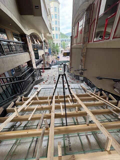
LiDAR and total stations aren’t rivals—they’re complementary. Learn how both tools define accuracy and efficiency on Colorado jobsites with Precision 3D Scanning.
-
3D Scans in Real Estate, As-Built Documentation, for Property Developers, for Property Owners, Joe Trujillo Precision 3D Scanning, LiDAR scanning Colorado
LiDAR Scanning in Urban Development: Protecting Developers From Hidden Risks
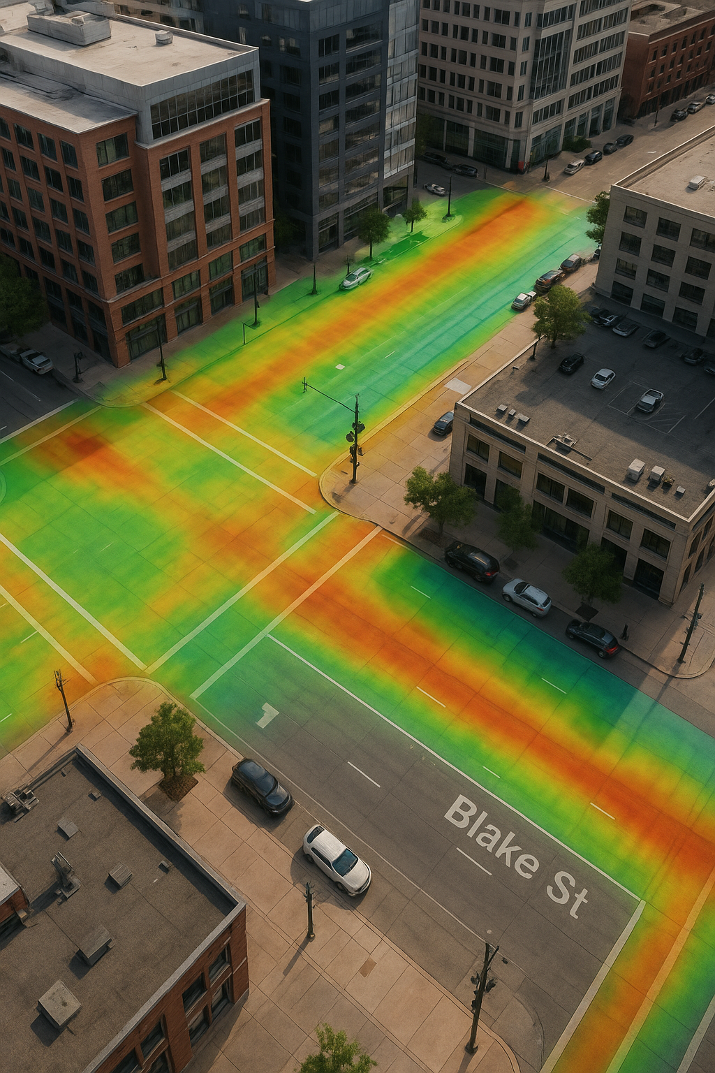
A detailed curb and gutter section with storm drain, overlaid with a vibrant LiDAR elevation heatmap. The color gradient highlights changes in elevation along the road and sidewalk, demonstrating how LiDAR scanning helps developers analyze drainage flow and protect urban projects from future infrastructure risks.
-
3D Scans and Construction, 3D Scans in Real Estate, for Architects, for Property Developers, Joe Trujillo Precision 3D Scanning, LiDAR scanning Colorado, LiDAR scanning Denver
Precision 3D Scanning: When to Tie LiDAR Scans to Survey Control in Denver and Colorado Projects
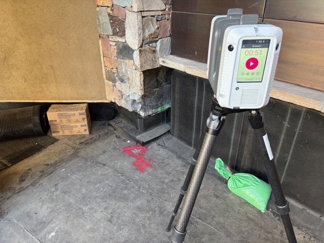
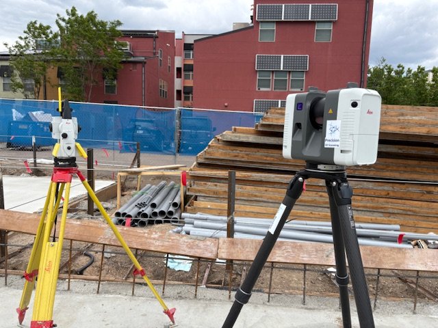
On-site with the Leica RTC360 in Denver, Precision 3D Scanning ties LiDAR scans to survey control points for unmatched accuracy. This workflow ensures dependable as-builts, eliminates costly errors, and provides architects, engineers, and contractors with the verified data they need for successful construction projects
-
3D scanning Colorado, 3D Scans and Construction, As-Built, for Property Developers, Joe Trujillo Precision 3D Scanning, LiDAR scanning Denver, Precision 3D Scanning services
Why LiDAR Scanning Beats Photos for As-Built Documentation in New Construction
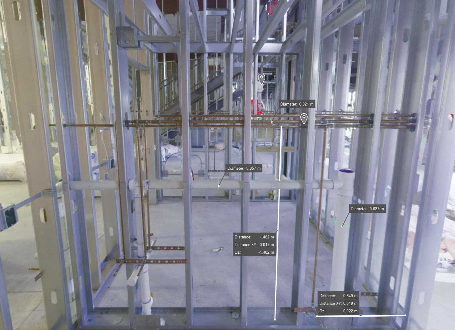
3D laser scanning image of a framed wall in new construction, showing exposed MEP systems for creating accurate digital as-builts before finishes are applied
-
3D scanning Colorado, 3D scanning Denver, 3D Scans in Real Estate, Joe Trujillo Precision 3D Scanning
How LiDAR Scanning Helps Realtors Sell Smarter

A Better Way to Show the Full Picture In real estate, first impressions matter. Using LiDAR for real estate listings helps buyers and sellers get a clearer view from the start. But photos alone don’t tell the whole story. Buyers want to understand how a home flows. Sellers want listings that stand out. And realtors…
-
3D scanning Denver, for Property Owners, Jobsite Safety, Joe Trujillo Precision 3D Scanning, LiDAR scanning Colorado, LiDAR scanning Denver
How LiDAR Scanning Enhances Jobsite Safety

The Challenge of Jobsite Safety Construction sites are unpredictable. They shift daily with equipment, people, and material in constant motion. In this environment, safety becomes a moving target. But with LiDAR, you gain the ability to see, plan, and react faster than ever. What LiDAR Does Differently LiDAR scanning captures millions of precise data points…
-
Historic Preservation, Joe Trujillo Precision 3D Scanning, Lidar Scanning for Historic Preservation, nationwide LiDAR scanning services
A Lesson in Legacy: What a Vacation Stop at a Louis Sullivan Bank Taught Me About Preservation and Purpose

It wasn’t planned. I was in Owatonna, Minnesota on vacation with my family, eating truffles inside a 100-year-old chocolate shop. The floor was a classic 1×1 white hex tile with delicate black flower inlays—the kind of flooring that knows its history. But it wasn’t the shop that stole my attention. It was the view out…
-
3D Scans and Construction, for Architects, Joe Trujillo Precision 3D Scanning, Lidar Scanning, nationwide LiDAR scanning services, Scan-to-BIM
Scan-to-BIM in Today’s World

Denver Scan-to-BIM Project
-
3D scanning Denver, 3D Scans and Construction, for Property Developers, for Property Owners, Joe Trujillo Precision 3D Scanning, LiDAR scanning Colorado, Scanning for QAQC
LiDAR Scanning For Third-Party Construction Inspections
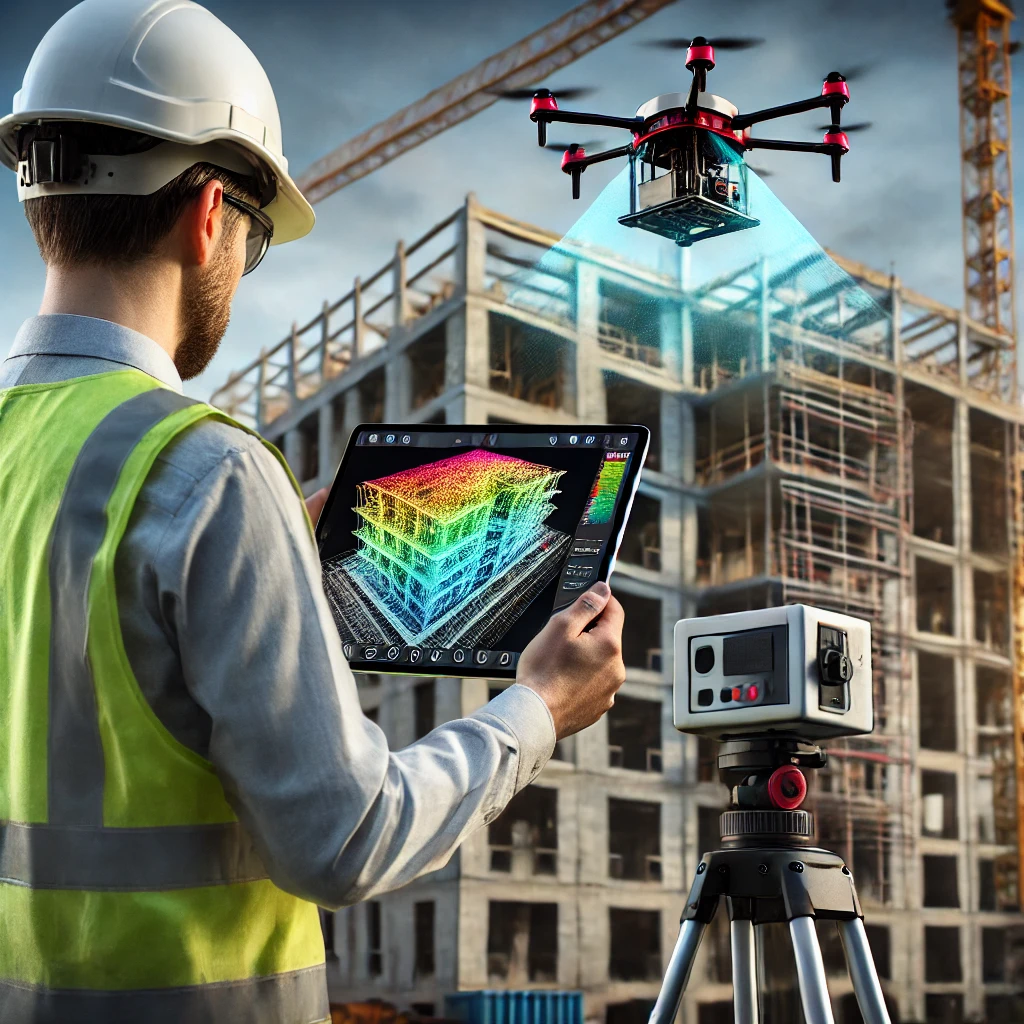
Precision 3D Scanning performing 3rd party lidar scan for point cloud creation. Used in Revit and AutoCad.
-
Historic Preservation, Joe Trujillo Precision 3D Scanning, LiDAR scanning Colorado, LiDAR scanning Denver, Lidar Scanning for Historic Preservation
Preserving Colorado’s Historical Sites with LiDAR Scanning
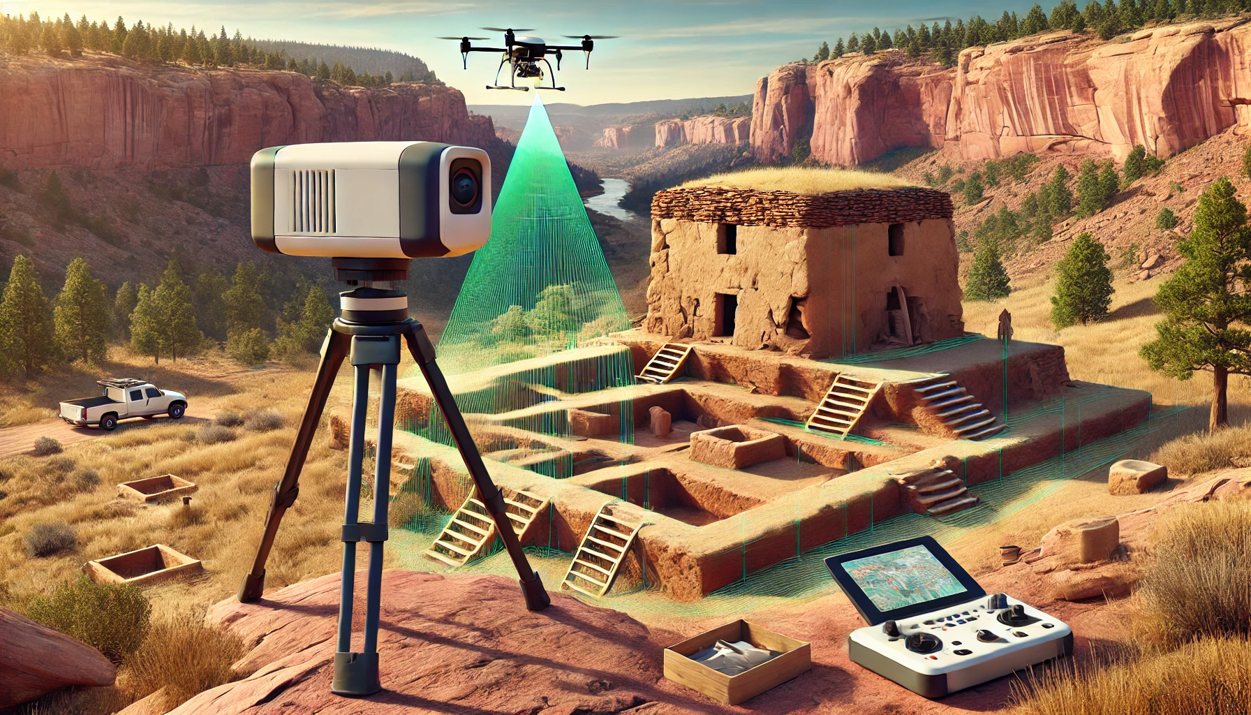
LiDAR Scan of Historical Preservation Site
-
3D Scans and Construction, 3D Scans in Real Estate, for Architects, Joe Trujillo Precision 3D Scanning, LiDAR scanning Colorado, LiDAR scanning Denver, nationwide LiDAR scanning services
Case Study: Modernizing 6245 Garrison Street with LiDAR Technology
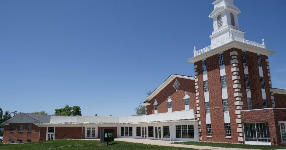
Background The Mile High Vineyard Church in Arvada, Colorado, recently began an exciting project: renovating their new building at 6245 Garrison Street. This property, with its 34,000 square feet spread across three levels and a historic belltower, held a lot of potential—but also some big challenges. The biggest hurdle? They didn’t have any verified architectural…
-
3D Scans and Construction, Joe Trujillo Precision 3D Scanning, Lidar for Fire Protection, LiDAR scanning Colorado, LiDAR scanning Denver, Lidar Scanning for as Builts, nationwide LiDAR scanning services
How 3D LiDAR Scanning is Changing the Fire Protection Industry
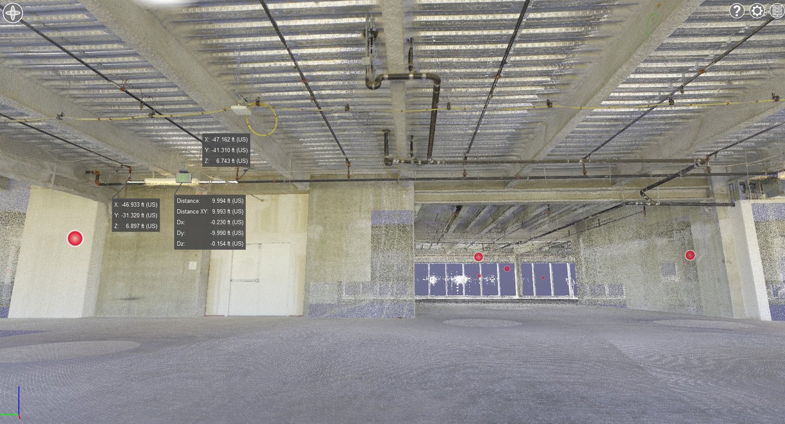
Fire Sprinkler System Measurements using Point Cloud and 3D Lidar Scanning
-
3D Scans and Construction, for Architects, Joe Trujillo Precision 3D Scanning, LiDAR scanning Colorado, LiDAR scanning Denver, Renovations
Case Study: Revolutionizing Renovations at Colorado Springs Fire Department Station #25
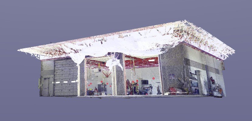
Client: Mark Young ConstructionLocation: Colorado Springs, Colorado Mark Young Construction embarked on a significant renovation of the Colorado Springs Fire Department Station #25, only to face a critical challenge: the station’s garage had long struggled with persistent drainage issues. This problem disrupted daily operations and posed a serious obstacle to the project’s success. Before proceeding,…
-
3D Scans and Construction, for Property Owners, Joe Trujillo Precision 3D Scanning, LiDAR scanning Colorado, LiDAR scanning Denver, Renovations
Case Study: Revitalizing a Mixed-Use Property with 3D LiDAR Scanning
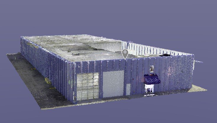
3D Lidar Scan of Mixed use Warehouse provided by Precision 3D Scanning
-
3D Scans and Construction, Joe Trujillo Precision 3D Scanning, LiDAR scanning Colorado, LiDAR scanning Denver, Lidar Scanning for Historic Preservation, Renovations
Bringing History Back to Life: Restoring the 1892 Ochiltree Block Building
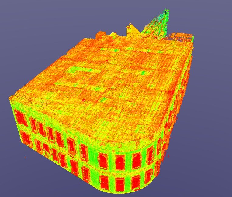
Nestled in Denver’s Highlands District, the Ochiltree Block building at 2935 Zuni stands as a monument to 19th-century architectural craftsmanship. Its rounded corner design, arched windows, and red brick façade have been a defining part of the neighborhood’s identity since 1892. However, decades of use and exposure to the elements left the building in need…
-
3D Scans and Construction, for Architects, Joe Trujillo Precision 3D Scanning, Lidar Scanning for Historic Preservation, nationwide LiDAR scanning services, Point Cloud, Renovations
Uncovering Hidden Issues: How LiDAR 3D Scanning Pinpoints Structural Deformities in Historical Building Renovations
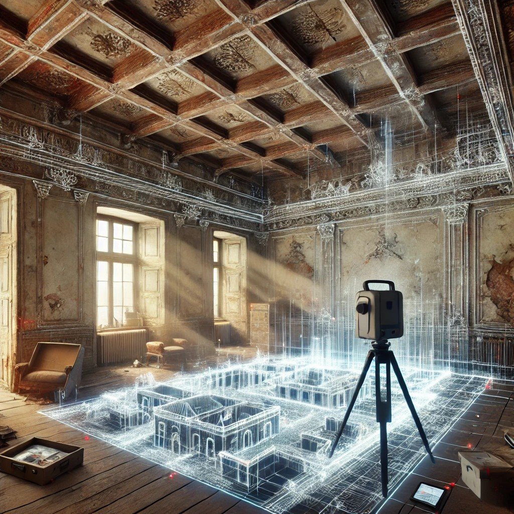
LiDAR 3D Scanning Historical Building Renovations Renovating a historical building into modern apartments poses unique challenges. These projects blend the preservation of cultural heritage with the demands of modern design. Over time, buildings develop structural deformities due to settling, wear, and unplanned modifications, often concealed beneath their charming facades. Architects, engineers, and developers now rely…
-
Concrete Flattness and Level Testing, Joe Trujillo Precision 3D Scanning, Laser Scanning for Floor Flatness, LiDAR scanning Denver, Lidar Scanning for Concrete Analysis, nationwide LiDAR scanning services, Point Cloud Surface Mapping
Using LiDAR Scanning for Concrete Surface Analysis: Ensuring Flatness and Level
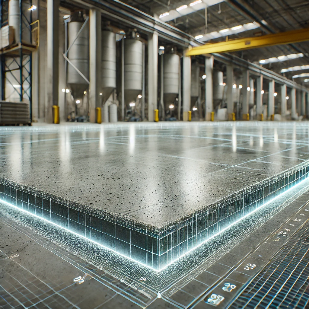
Using LiDAR Scanning for Concrete Surface Analysis FF/FL and concrete elevation heat maps
-
3D LiDAR Scanning for Property Management, 3D Scans in Real Estate, for Property Developers, for Property Owners, Joe Trujillo Precision 3D Scanning, nationwide LiDAR scanning services, precision 3D scanning Colorado, Remote Facility Management Tools
Enhancing Portfolio Management with Point Clouds

Today, property owners and managers are increasingly turning to point clouds to streamline and enhance their portfolio management practices. Enhancing Portfolio Management with Point Clouds
-
for Architects, Historic Preservation, Joe Trujillo Precision 3D Scanning, Landmarks, Lidar Scanning for Historic Preservation, Obelisk Clock Tower Lidar Scan, precision 3D scanning Colorado
LiDAR Point Cloud of the Westminster Brick Obelisk Clock Tower
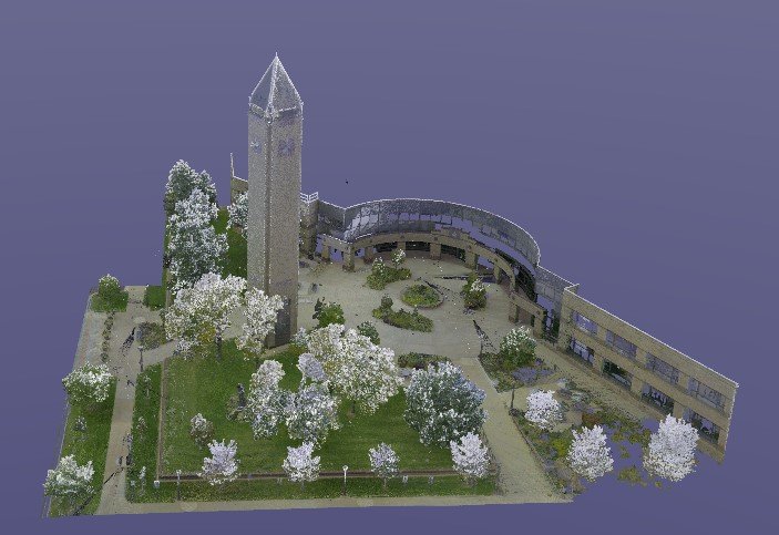
Exploring My LiDAR Point Cloud of the Brick Obelisk Clock Tower. I recently had the privilege of creating a detailed 3D point cloud of a stunning brick obelisk clock tower using LiDAR scanning. This project allowed me to capture every inch of the tower’s exterior and intricate features, preserving them in a digital format for…

Revolutionizing the Construction Industry with Point Cloud 3D Scans
