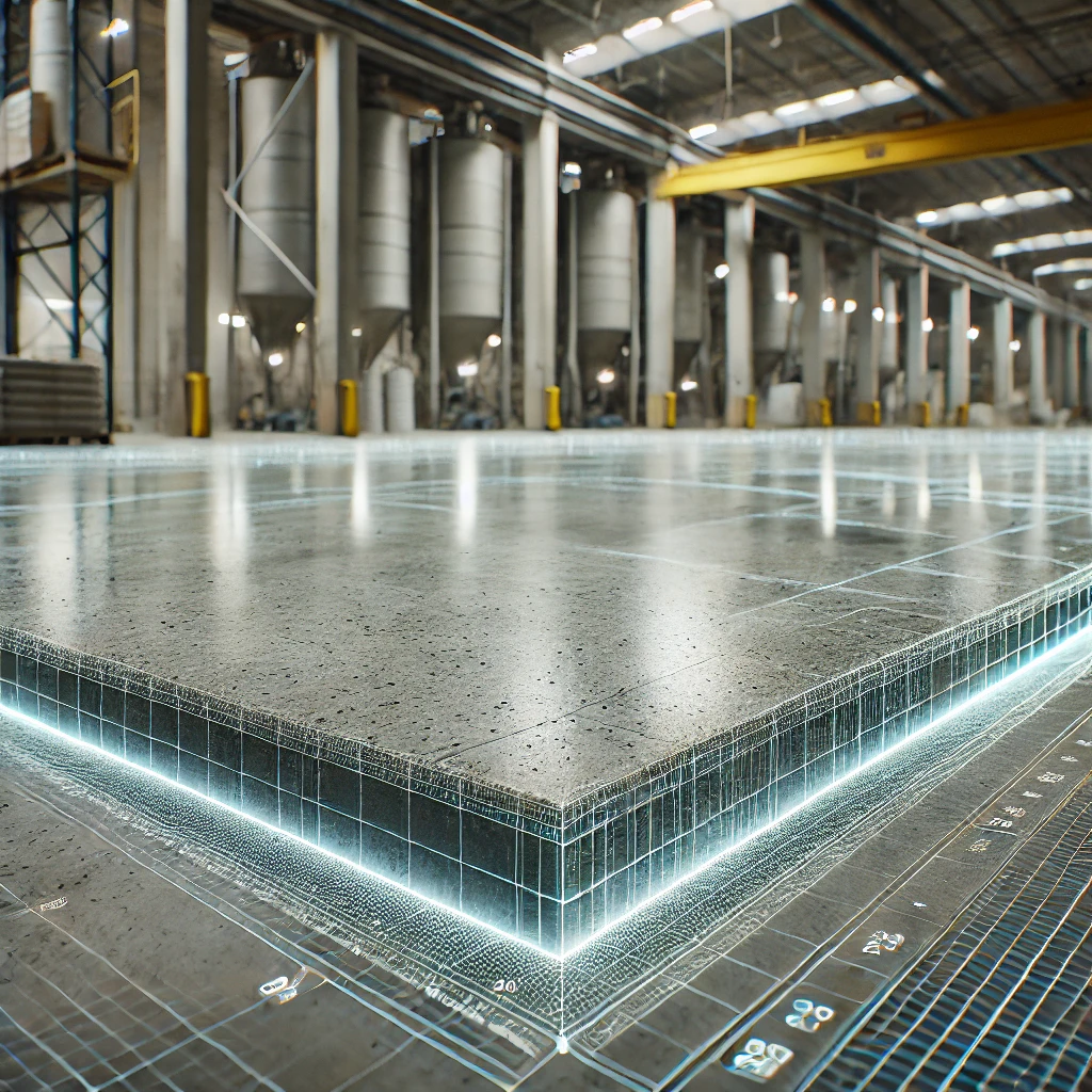
LiDAR is the future of Concrete analysis
Using LiDAR Scanning for Concrete Surface Analysis: Ensuring Flatness and Level. Concrete forms the backbone of modern structures, from commercial floors to industrial warehouses, but keeping it flat and level is critical. Uneven or out-of-level concrete can cause issues like equipment malfunctions, operational inefficiencies, and long-term structural damage. While traditional inspections rely on manual measurements and subjective assessments, LiDAR scanning technology now offers a faster, more accurate, and non-invasive way to analyze concrete surfaces. By using LiDAR, teams can ensure that concrete surfaces meet essential flatness and level standards with confidence.
LiDAR Delivers Precision with Point Clouds
LiDAR, or Light Detection and Ranging, maps surface variations with incredible detail by emitting laser pulses and generating point clouds—a dense collection of 3D data points that form a digital representation of the scanned surface. These point clouds capture subtle elevation changes, allowing teams to analyze flatness and level with precision that manual inspections might miss. By creating a high-resolution point cloud, LiDAR scanning provides detailed, measurable insights that enable proactive maintenance and help minimize costly repairs.
Impact of Floor Finishes on Flatness and Level Analysis
Floor finishes—especially resilient and glue-down types, epoxy coatings, and polished concrete—can significantly impact flatness and level requirements. Resilient and glue-down flooring, such as vinyl or rubber tiles, require a smooth and level subfloor to prevent lifting, gaps, or bubbling over time. Even slight irregularities in the concrete can compromise the adhesion and appearance of these finishes. With LiDAR, teams can detect these irregularities before applying resilient finishes, ensuring a seamless and durable installation.
Epoxy finishes, popular in industrial and commercial settings for their durability and chemical resistance, add a thin, glossy layer to the concrete. This layer can make the surface highly reflective, which might impact LiDAR scanning if not properly adjusted. To ensure optimal results, teams may need to fine-tune LiDAR settings to account for this gloss. Using LiDAR to assess flatness before applying epoxy also helps prevent pooling and uneven wear, maximizing the durability of the epoxy layer.
Polished concrete, often chosen for its aesthetic appeal and low maintenance, requires precise flatness to achieve a uniform polish. Irregularities in the concrete’s flatness can result in inconsistent polishing and an uneven finish. LiDAR scanning allows teams to identify and address these deviations in advance, ensuring that the polished concrete remains smooth and visually appealing.
Streamlining Efficiency in Analysis
Along with precision, LiDAR scanning brings efficiency to concrete surface analysis. By quickly covering large areas, LiDAR significantly reduces the time, labor, and costs associated with traditional inspection methods. This speed proves invaluable on projects where time is limited, such as active construction sites or large commercial floors. The point cloud data generated also allows teams to assess areas in real-time or revisit the data digitally, making it easier to analyze and document findings even after the scan.
Practical Applications for Industrial and Construction Projects
LiDAR scanning, with its point cloud capabilities, is transforming how industrial and construction teams manage flatness and level in concrete. In industrial settings, for instance, flat and level concrete floors support smooth machinery operation and effective inventory storage. LiDAR scans reveal even small height variations across expansive floors, pinpointing deviations that might interfere with daily operations. Teams can leverage this detailed point cloud data to prioritize corrective actions, prevent future issues, and maintain a stable working environment.
For new concrete pours, LiDAR’s point clouds prove equally invaluable. Scanning during or immediately after the pour allows contractors to confirm that the surface meets project flatness and level specifications. If the point cloud data highlights imperfections, crews can correct them before the concrete sets, ensuring top-quality results from the start.
Paving the Way for Data-Driven Analysis
By generating point clouds, LiDAR transforms concrete surface analysis into a data-driven process based on objective, quantifiable insights. The 3D models and point clouds produced by LiDAR allow architects, engineers, and facility managers to manage concrete flatness and level proactively. By routinely monitoring and comparing these 3D models over time, teams can identify shifts or irregularities early, make informed decisions, and ensure that structures remain safe, stable, and long-lasting.
The Bottom Line
LiDAR scanning, with its ability to generate detailed point clouds, stands out as a valuable tool in the Architecture, Engineering, and Construction (AEC) industry. By delivering unmatched accuracy in flatness and level analysis, LiDAR enables teams to prevent issues before they escalate, reduce maintenance costs, and optimize operational efficiency. For construction crews, quality control specialists, and facility managers, LiDAR provides a powerful, data-rich solution to uphold the highest standards in concrete surface quality and durability—whether for resilient flooring, glue-down finishes, epoxy coatings, or polished concrete.
See how we can help with your projects at: https://precision3dscanning.com/3d-building-scanning-services/#elevation-heatmaps

