Lidar Scanning for Concrete Analysis
-
Concrete Flattness and Level Testing, Joe Trujillo Precision 3D Scanning, Laser Scanning for Floor Flatness, LiDAR scanning Denver, Lidar Scanning for Concrete Analysis, nationwide LiDAR scanning services, Point Cloud Surface Mapping
Using LiDAR Scanning for Concrete Surface Analysis: Ensuring Flatness and Level
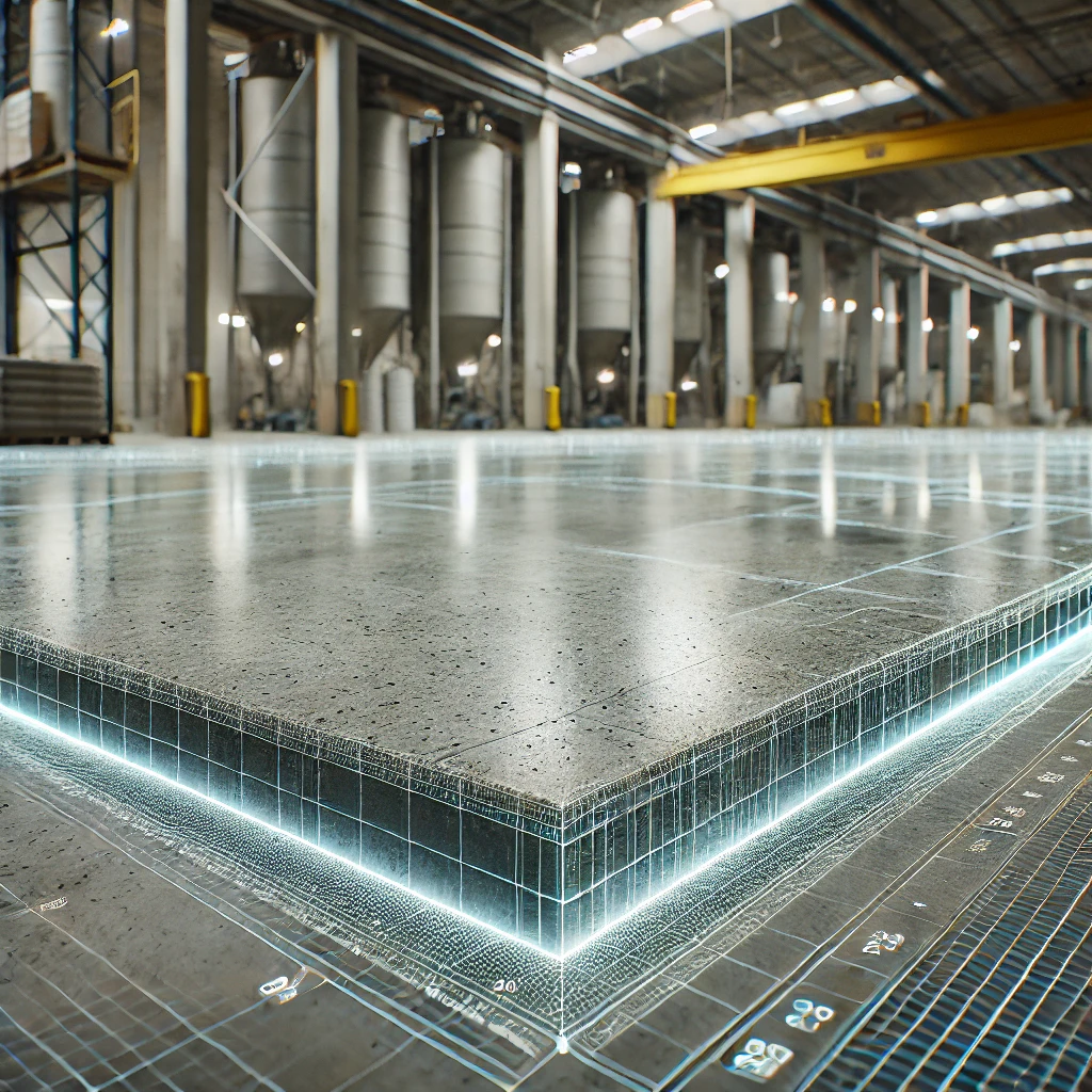
Using LiDAR Scanning for Concrete Surface Analysis FF/FL and concrete elevation heat maps
-
3D Scans and Construction, Concrete Flattness and Level Testing, FF / FL, Joe Trujillo Precision 3D Scanning, LiDAR scanning Colorado, LiDAR scanning Denver, Lidar Scanning for Concrete Analysis, Point Cloud
Stunning Concrete Elevation Heat Maps by Precision 3D Scanning

Concrete Elevation Heat Maps in action. Title: Unveiling the Beauty of Concrete Elevation Heat Maps: Precision 3D LiDAR Scanning In the dynamic world of architecture and construction, innovation meets precision through 3D LiDAR scanning. This groundbreaking technology unlocks a realm of possibilities, transforming mundane structures into visually breathtaking Concrete Elevation Heat Maps. Concrete elevation deviations…
-
3D Scans and Construction, FF / FL, Joe Trujillo Precision 3D Scanning, LiDAR scanning Colorado, LiDAR scanning Denver, Lidar Scanning for Concrete Analysis, nationwide LiDAR scanning services
3D Scanning to Point Cloud
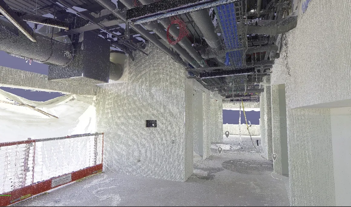
Use our construction service to go from plan to a 360 degree HDR Photo that you can measure. Point cloud creation with 3D scanning in the format of your choice to detailed reports such as a FF/FL Heat map of your project. Take virtual fly-through of your work in place. Point cloud creation with 3D…
-
3D Scans and Construction, Concrete Flattness and Level Testing, FF / FL, Joe Trujillo Precision 3D Scanning, LiDAR scanning Colorado, LiDAR scanning Denver, Lidar Scanning for Concrete Analysis
The Power of Concrete Elevational Heatmaps in Construction
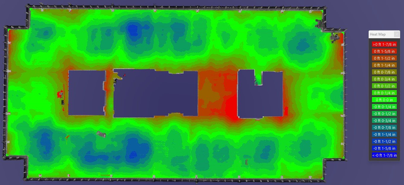
By utilizing Lidar Technology, Precision 3D scanning is a leader in concrete elevational heatmaps in concrete finishes.
-
3D Scans in Real Estate, Joe Trujillo Precision 3D Scanning, LiDAR scanning Colorado, LiDAR scanning Denver, Lidar Scanning for Concrete Analysis
Precision in Practice: Transforming Carpet Replacement
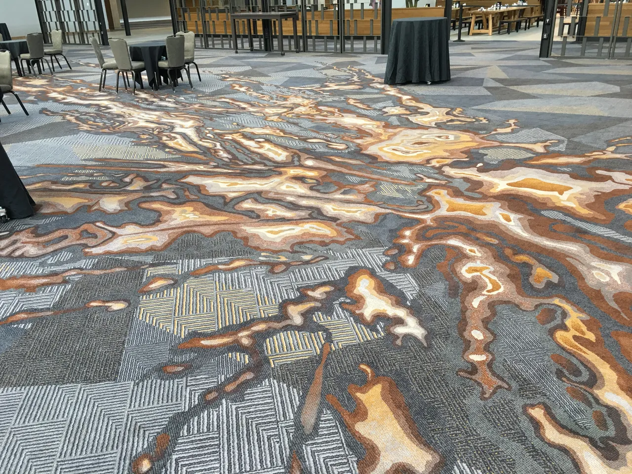
The world of carpet replacement is undergoing a profound transformation, thanks to the remarkable capabilities of 3D LiDAR (Light Detection and Ranging) scanners. These high-tech devices have the power to revolutionize the way carpet mills approach field measurements for hall carpet replacement projects such as existing hotels and multifamily residences. In this comprehensive blog post,…
Revolutionizing the Construction Industry with Point Cloud 3D Scans